Education
MSc Geomatics courses we are teaching
- GEO1002: Geographical information systems (GIS) and cartography
- GEO1004: 3D modelling of the built environment (open course)
- GEO1015: Digital terrain modelling (open course)
- GEO1016: Photogrammetry and 3D computer vision (open course)
- GEOIT1501: Synthesis project
- GEO2011: Thesis preparation
- GEO2021: Thesis
- GEO5010: Research assignment
- GEO5014: Geomatics as support for energy applications
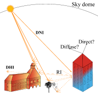
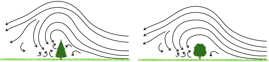
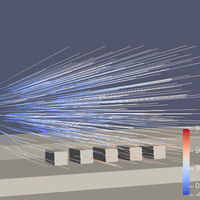
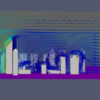
- GEO5015: Modelling wind and dispersion in urban environments
- GEO5016: Geomatics in Practice (Internship) (open course)
- GEO5017: Machine Learning for the Built Environment (open course)
- GEO5019: Geomatics Studio (special topic) (open course)
Looking for a MSc thesis topic?
We have a list of potential topics.
MSc thesis projects – Ongoing

Frederick Auer
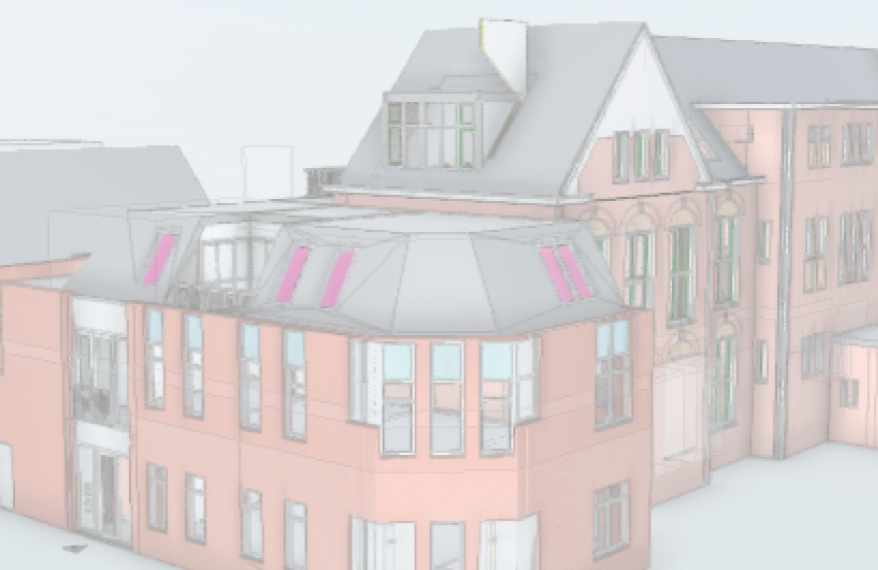
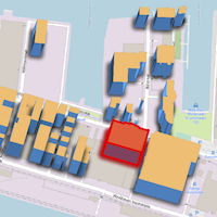
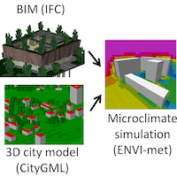
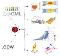
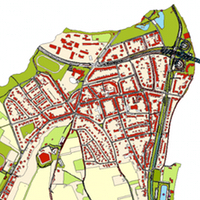
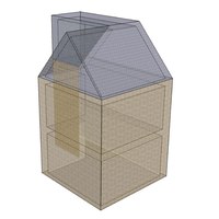
Testing and enhancing the Scenario ADE in the context of building performance simulation in Rotterdam
Michel Beeren
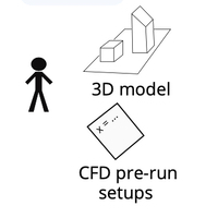
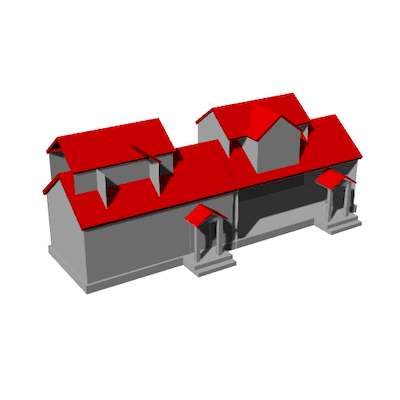
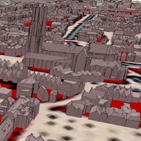
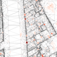
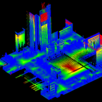
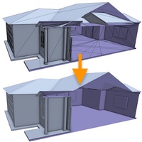
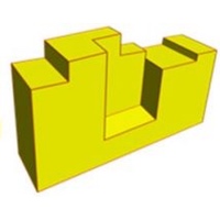
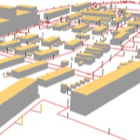
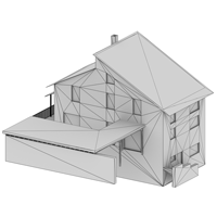
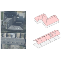
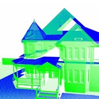
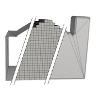
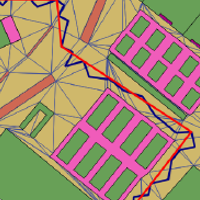
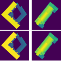
Optimizing 3D Alpha Wrapping for CFD Applications; Repairing and Simplifying 3D Building Models
Xinya Bi
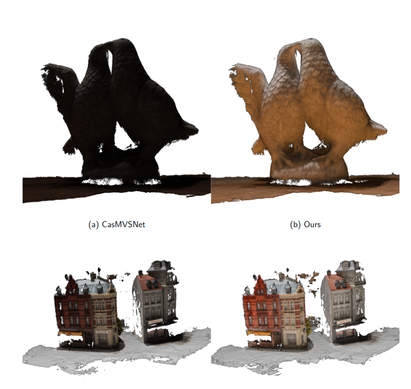
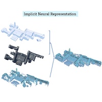
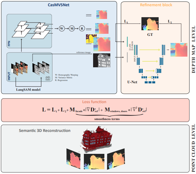
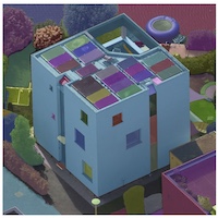
Multi-view Semantic Pruning for 3D Building Reconstruction using Gaussian Splatting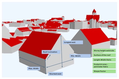
Sara Brakelé
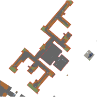
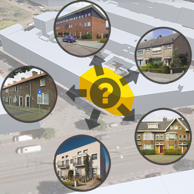
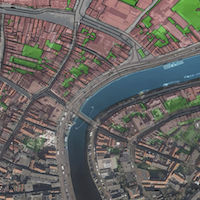
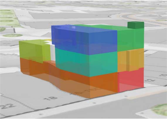
Extracting building typology parameters from 3D city models for earthquake risk assessment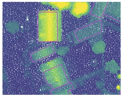
Alexandre Bry
From Points to Prints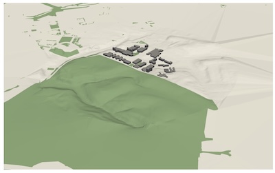
Carmem Félix Aires
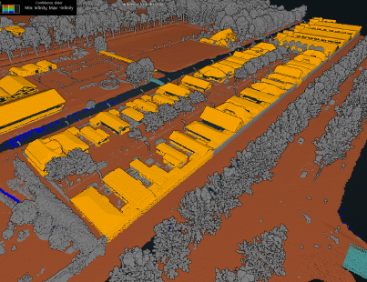
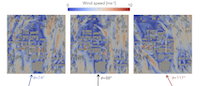
A Comparison of Wind Velocity Predictions from Wind-Only and Thermally Coupled OpenFOAM Solvers in Complex Terrain
Anne den Hartog
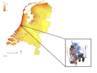
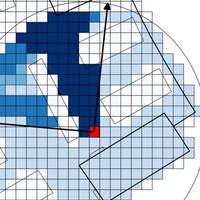
Thermally comfortable urban mobility: operationalizing urban microclimate data into a pedestrian routing tool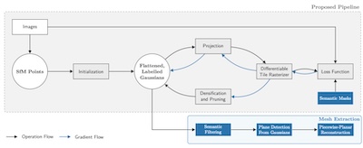
Ming Chieh Hu
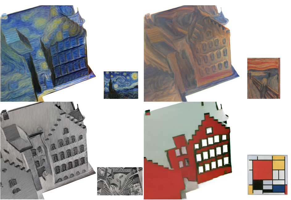
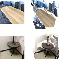
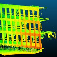
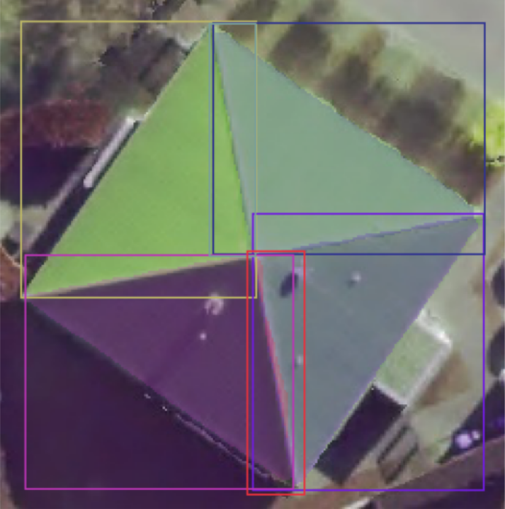
Gaussian Splatting to Piecewise-Planar Surfaces For 3D Building Reconstruction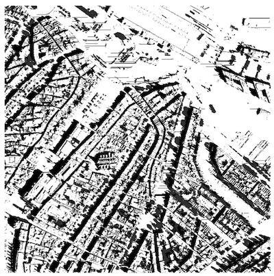
Luc Jonker
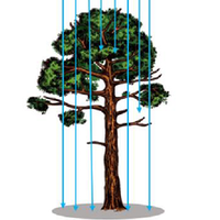
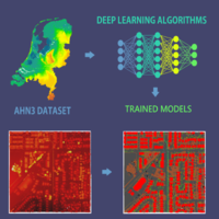
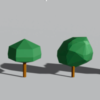
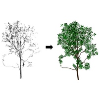
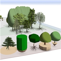
Automated Generation of Tree-Aware Urban Shade Maps using Deep Learning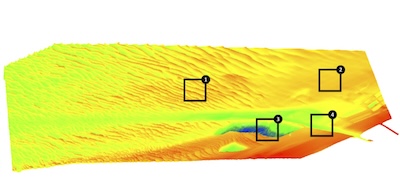
Julia Pille
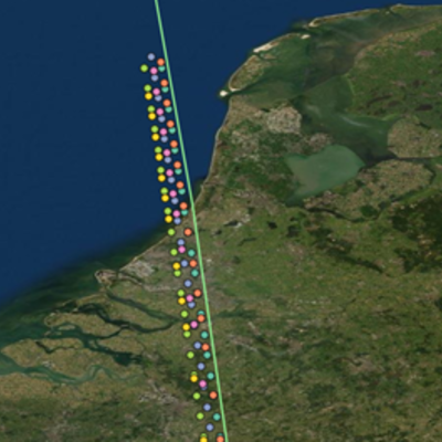
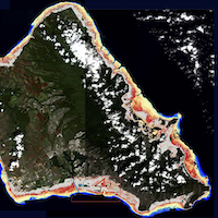
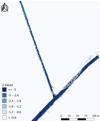
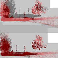
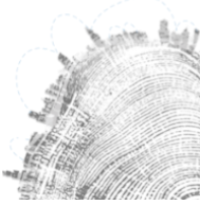
Seabed Fingerprinting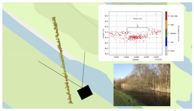
Heiko Rotteveel
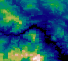
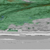
Automatic water (level) detection using ICESat-2 measurements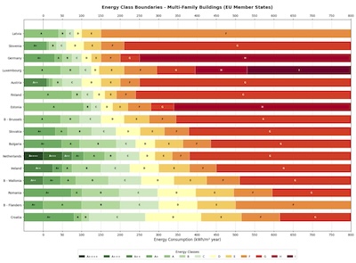
Daan Schlosser
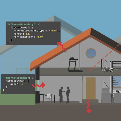
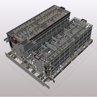
Investigation on the data model requirements for Digital Building Logbooks and Building Renovation Passports
Neelabh Singh
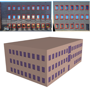
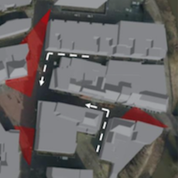
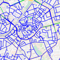
Identifying Sidewalks From Crowdsourced SVI for OSM Enrichment
Vincent Vanderheeren
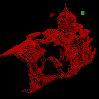
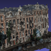
Pillar of Morphology - Enhancing point-based mathematical morphology for processing applications in heritage point clouds
Sue Wang
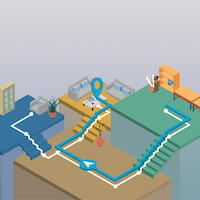
Action-Aware Indoor Navigation with Agent-Guided Adaptive Voxelization and Scenario-Aware ReplanningMSc thesis projects – Completed
2026
2025


2024