Research projects
FlexPED
Started 2026
Funded by Driving Urban Transition (DUT) Call 2024
Energy Data and Flexibility Management for Positive Energy Districts

MultiRoofs
Started 2024
Funded by Interreg North-West Europe (NWE)
Multifunctional Roofscapes for smart, green and just urban densification

Energy ADE
Started 2024
Funded by Various
A CityGML-based open data model for Urban Energy Modelling
RefMAP
Started 2023
Funded by Horizon Europe
Reducing Environmental Footprint through transformative Multi-scale Aviation Planning

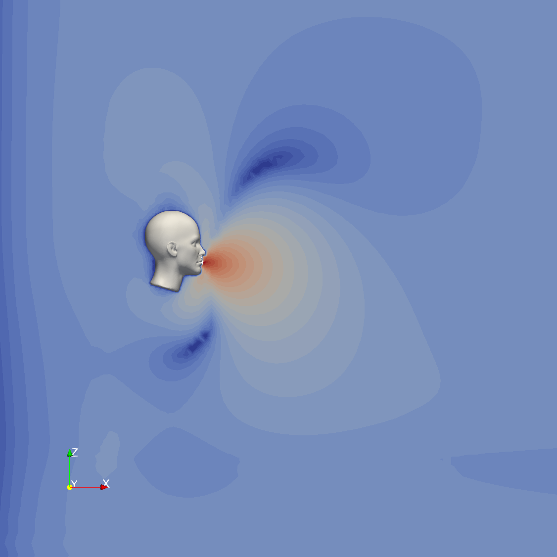
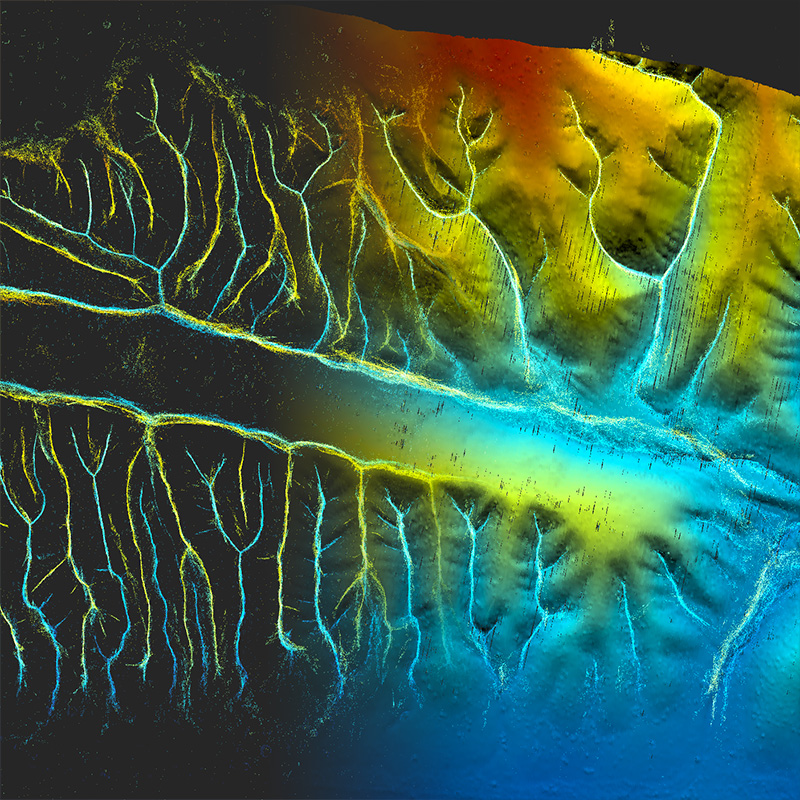
TurboCor
Started 2023
Funded by NWO-Computing Time on National Computing Facilities
Turbulence over Coral Reefs
DigiTwins4PEDs
Started 2023
Funded by Driving Urban Transition (DUT) Call 2022
Utilization of Urban Digital Twins to co-create flexible Positive Energy Districts

SCIENCES
Started 2022
Funded by Marie Sklodowska Curie Actions
Smart City Innovations and Experiments using New Climate and Energy Simulations

European network for Digital Building permission project
Started 2020
International collaboration project to address the digitization of planning permits.

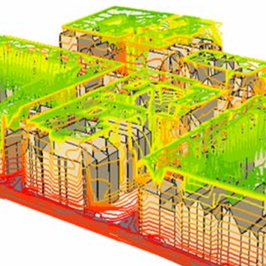
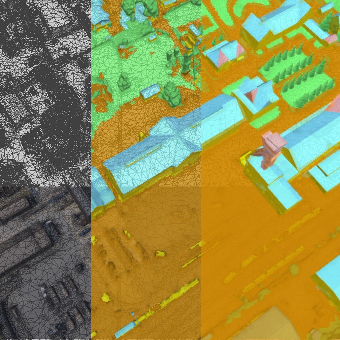
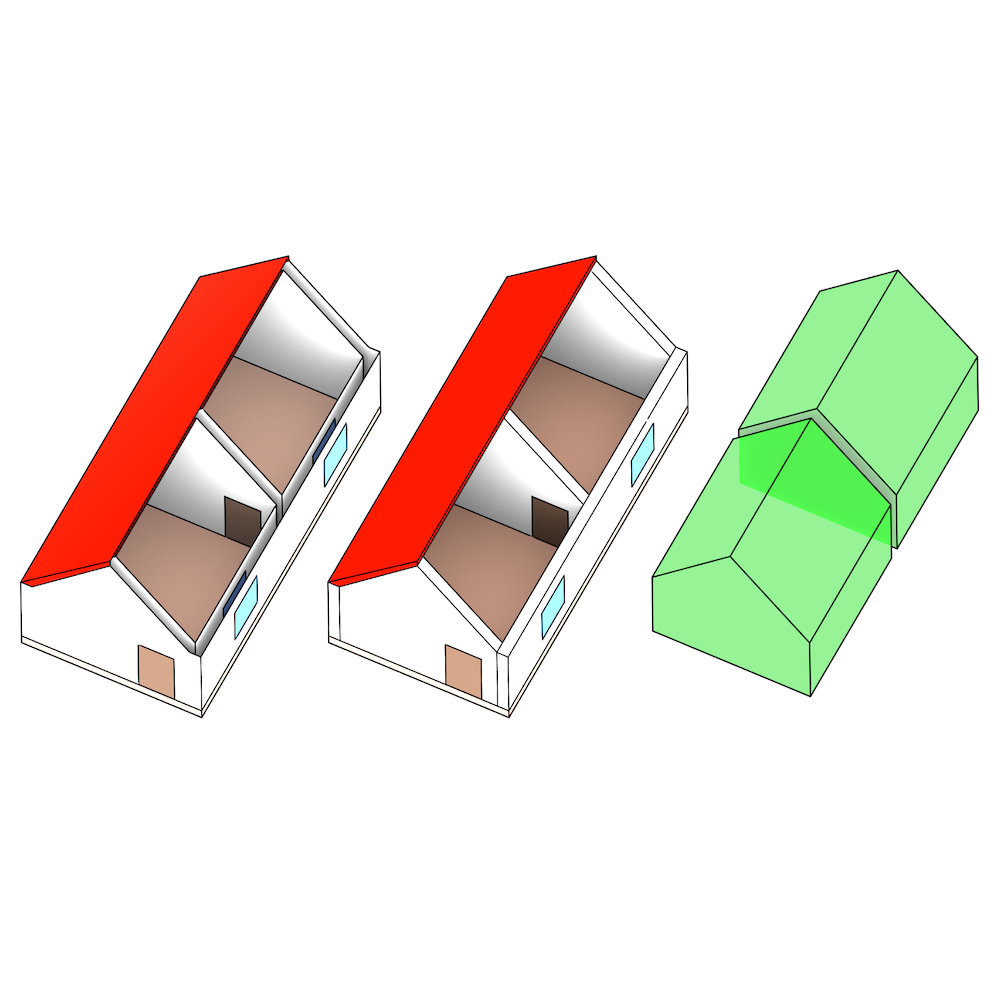
Semantic 3D urban mesh benchmark
Started 2019
Funded by EuroSDR
Build benchmark data sets for semantic 3D urban meshes and an annotation platform.
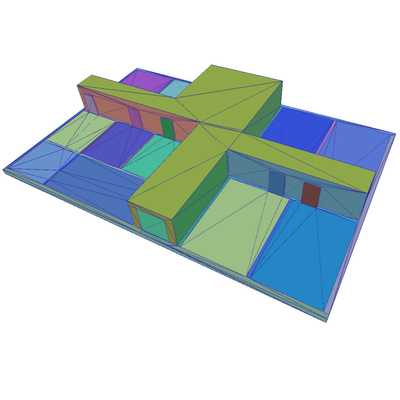
CityJSON
Started 2017
JSON-based implementation of CityGML, easy-to-use and compact
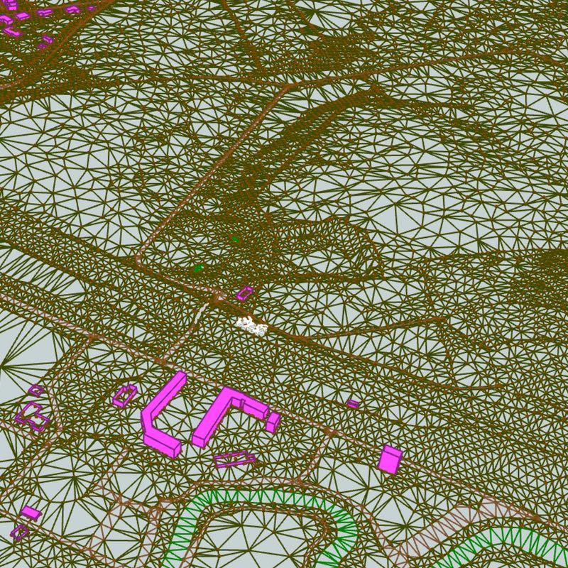
CityMesh2LoD
Started 2017
Funded by CycloMedia
Automatic generation of semantic 3D city models from 3D textured meshes
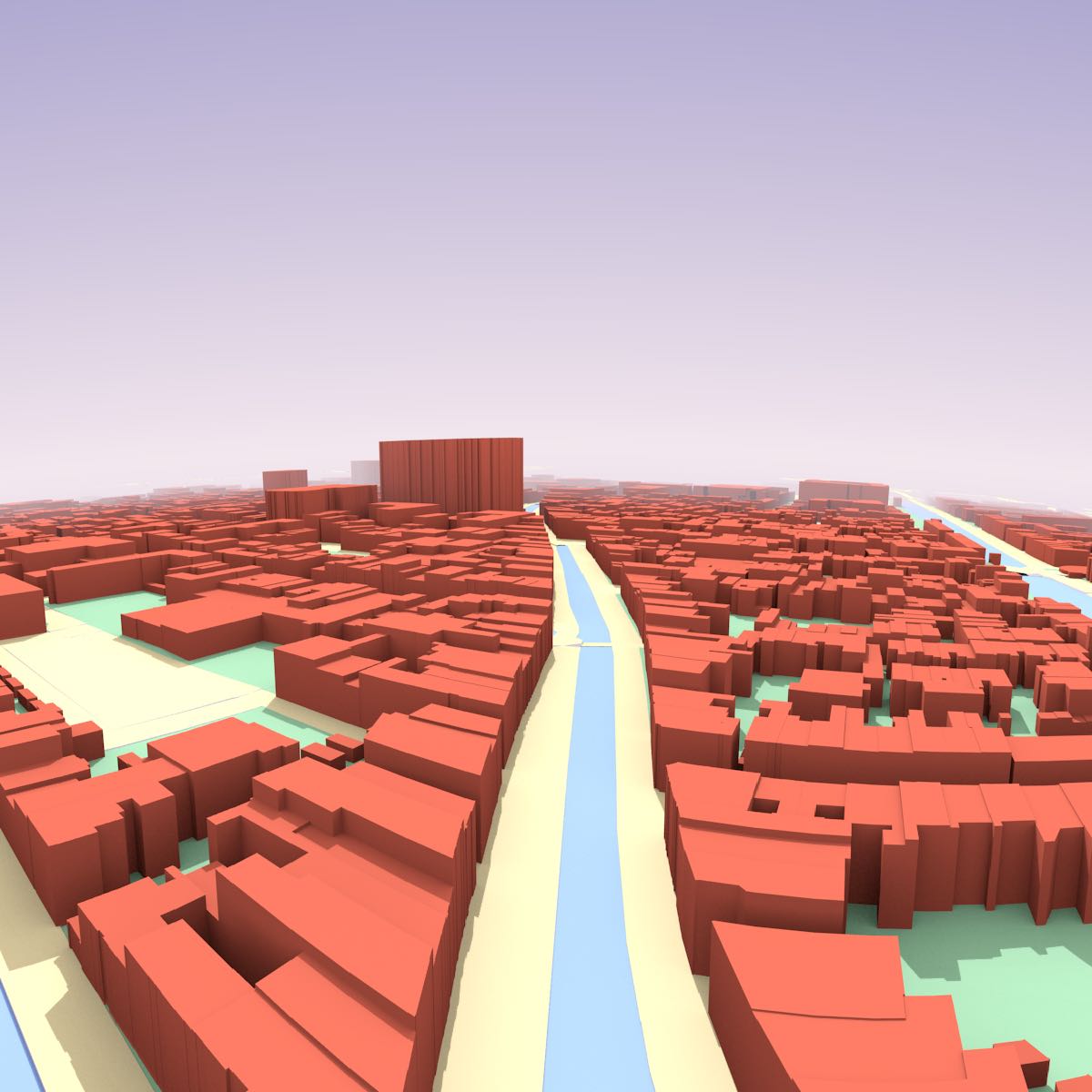
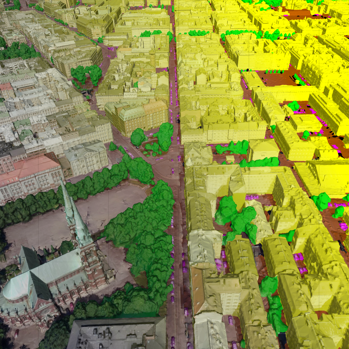
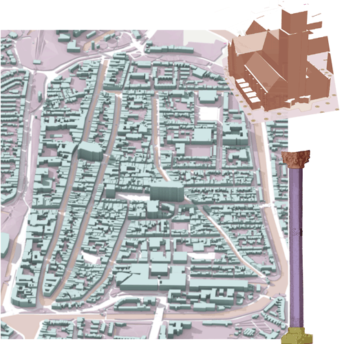
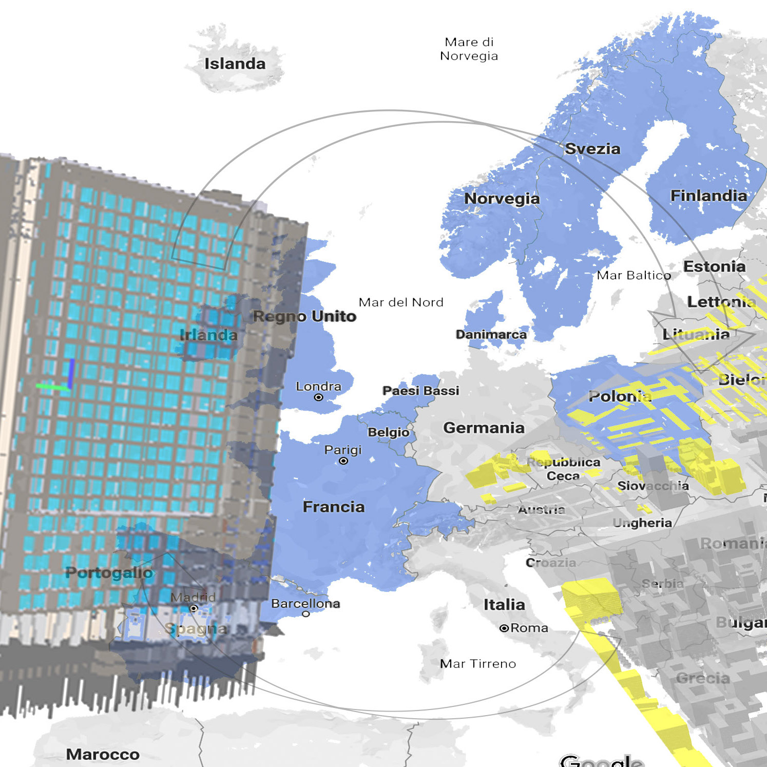
3D Nederland
Started 2015
Funded by Kadaster
Automatic reconstruction of the whole of the Netherlands: LOD1 buildings + terrain
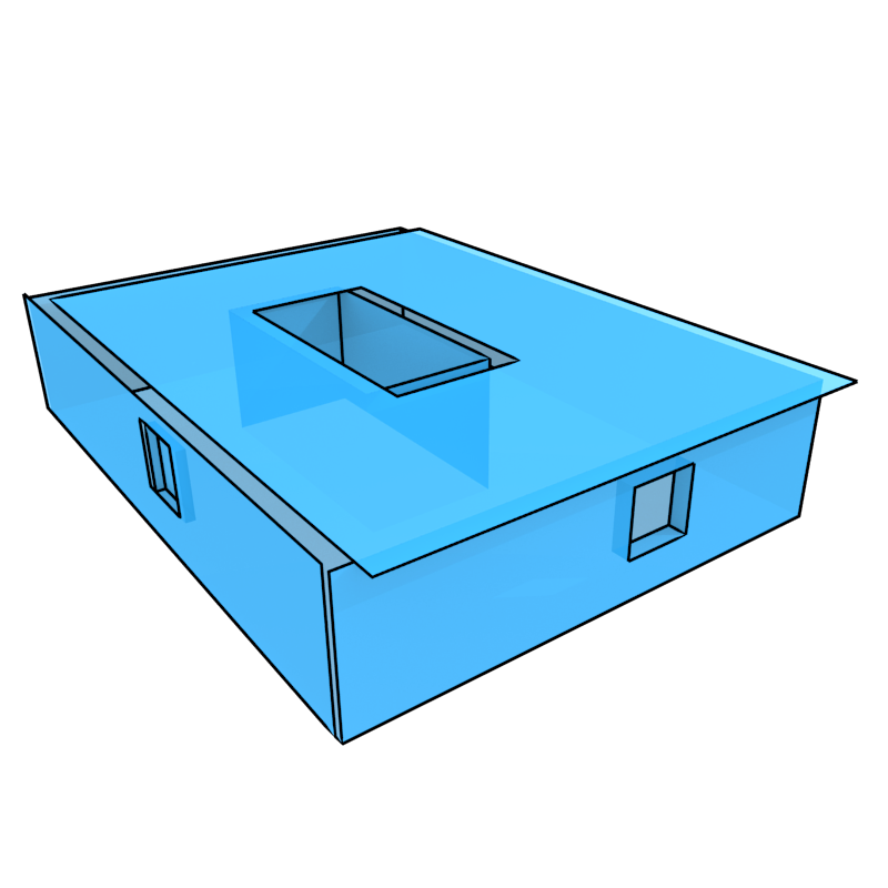
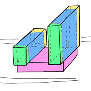
Quality control of 3D city models
Started 2013
Validation and quality control of 3D city models
3D Cadastres
Started 2001
Working group to establish an operational framework for 3D Cadastres
Completed reseach projects
CHEK
(2022-2026)
Funded by Horizon Europe
Change Toolkit For Digital Building Permit
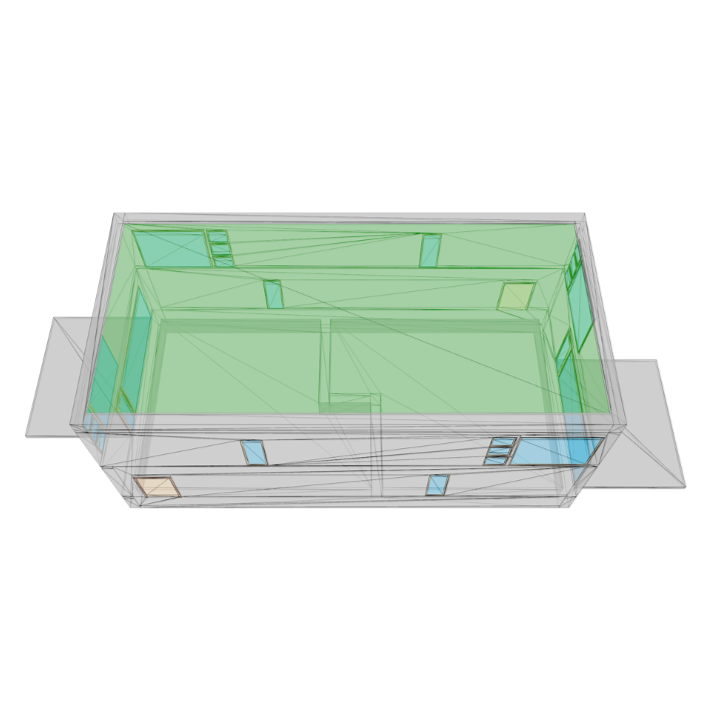
Architectural heritage information in 3D geospatial models
(2018-2021)
3D city models and HGeoBIM for heritage

Multisource Spatial data integration
(2020-2021)
Funded by EU MSC LEaDingFellows Postdocs Programme
Multisource Spatial data integration for smart city applications
IFC/CityGML/I3S
(2020-2021)
Funded by esri
Converting IFC to CityGML and I3S
iNous
(2018-2021)
Funded by Korean government
Building an eco-system for indoor spatial information
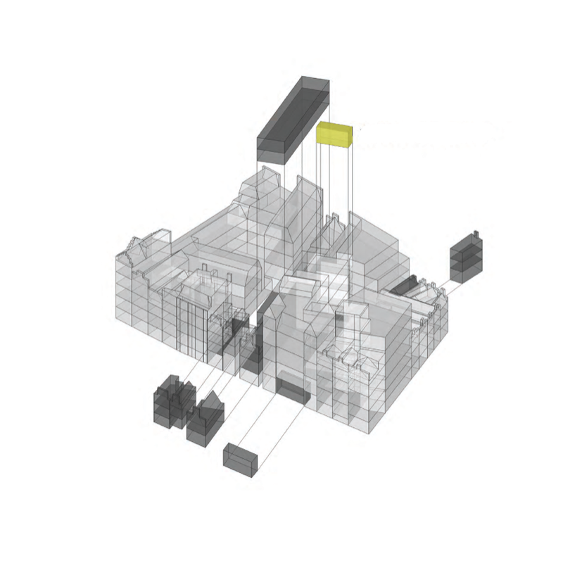
Smart data integration for urban applications
(2018-2020)
Funded by AMS
3D Data interoperability for smart cities
EuroSDR GeoBIM
(2017-2020)
Funded by EuroSDR + 11 NMAs
Geo and BIM integration in Europe

GeoBIM benchmark
(2019-2020)
Funded by ISPRS + EuroSDR
Reference study on software support for open standards of city and building models
GeoBIM Building Permit
(2019-2020)
Funded by Municipality of Rotterdam
Investigating the Automation of the Building Permission Issuing process through 3D GeoBIM information
TUD+TU/e GeoBIM
(2017-2018)
Bridging the gap between Geo and BIM
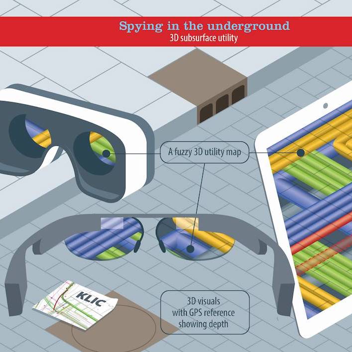
Spying the underground
(2016-2017)
Funded by 4TU lighthouse
AR Visualisation of underground pipes
Indoor Semantic Modeling to Support Path-Finding
(2010-2017)
Modelling of building semantics for navigation purpose
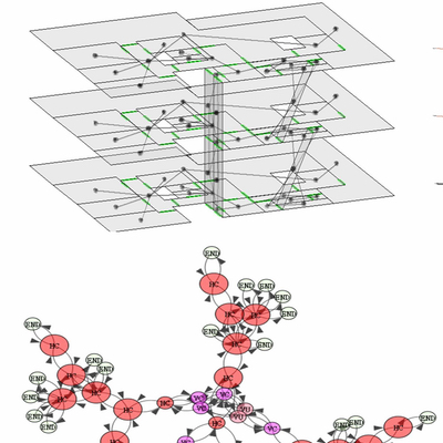
5D geo-modelling
(2011-2017)
Funded by STW
We integrate 3D geographic data with time and scale as extra dimensions
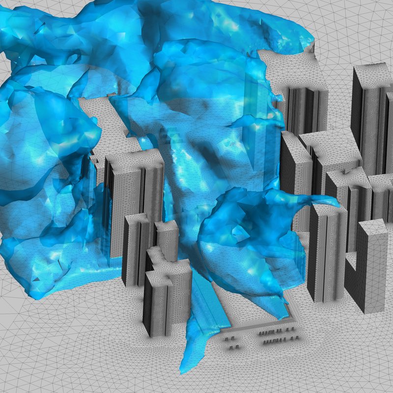
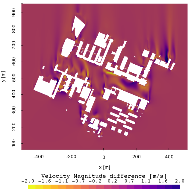
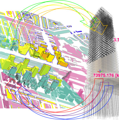
Simulation-ready 3D city models
(2016-2017)
Funded by AMS
Automatic reconstruction of simulation-ready 3D city models
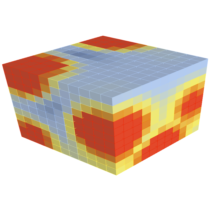
Big Data Analytics in the Geospatial Domain
(2015-2016)
Project to develop voxel, point cloud data types, and spatial features of the MonetDB relational database
Hidden Amsterdam
(2016)
Funded by AMS
We help find 'hidden parts' of Amsterdam with 3D city models
Navigation for first responders
(2010-2015)
Path planning for first responders among the moving obstacles caused by different types of disasters