EuroSDR GeoBIM project
- Summary
- Publications
- Project outcomes
- Project meetings
- Presentations
- Project partners
- Universities
- Connected projects
Summary
In both the Geographic Information (Geo) and Building Information Modelling (BIM) domains, it is widely acknowledged that the integration of data from both domains is beneficial and a crucial step in facing the multi-disciplinary challenges of our built environment. The result of this integration – which can broadly be termed GeoBIM – could answer questions such as identifying an appropriate HVAC system for a building based on room usage, outside air temperature, solar exposure and traffic pollution or validating whether a proposed built asset meets relevant planning constraints and support tasks that include logistics for construction, asset management, facilities upgrades, and road safety design improvements amongst many more.
From the data perspective, this integration raises the question of how to integrate very detailed design & construction data from the BIM domain with contextual geospatial data (both 2D and 3D) that models a very diverse range of aspects of the wider built environment and also underpins analytical analysis.
Developing a coherent approach to GeoBIM integration requires consensus between multiple stake-holders from both the Geo and the BIM side. Logically this is best addressed at the multi-country level, and is the topic of the new EuroSDR project on GeoBIM integration. The general aim of the project is to detail both the needs and the issues of GeoBIM integration, studied from use cases as well as from existing experiences in the participating countries.
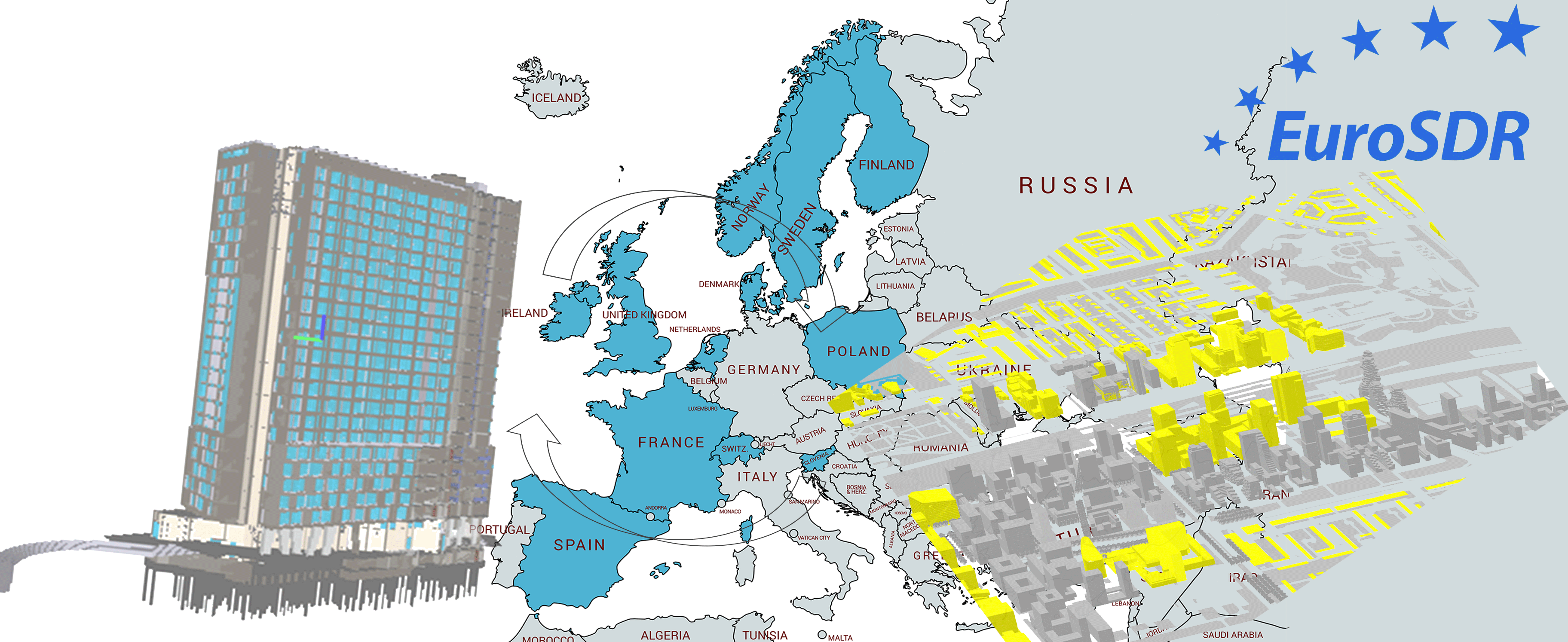
The partners in this project (besides EuroSDR) are: Lantmateriet Sweden; GUGiK Poland, NLS, Finland; Kartverket, Norway; Agency for Data Supply and Efficiency, Denmark; Kadaster, NL; Swisstopo, Switzerland; Ordnance Survey, UK; Ordnance Survey, Ireland; IGN, France and ICGC, Catalonia. Apart from co-funders, these organisations are active partners in the project and they will carry out parts of the project. Also a few universities and research institutes are partners in the project, i.e. University College London, Dublin Institute of Technology, Lund University and the Delft University of Technology.
The project is divided into two phases. In the first phase, (November 2017-May 2018) aimed at making an inventory of the GeoBIM state-of-play in the participating countries by means of a questionnaire.
The second phase aims at the definition of a workflow and of the specific requirements of the data for managing GeoBIM information within two specific use cases:
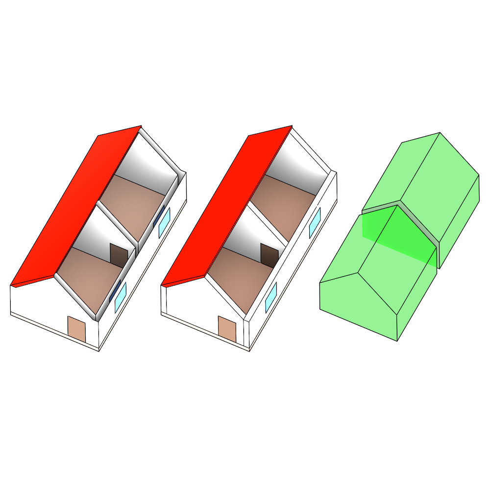
- Use case 1 - Workflow from global design to building permission issuing;
- Use case 2 - Life-cycle support in asset-management.
The project is expected to finish middle 2020.
Publications
Ellul, C., Stoter, J., Harrie, L., Shariat, M., Behan, A., Pla, M. (2018). Investigating the state of play of GeoBIM across Europe. International Archives of the Photogrammetry, Remote Sensing & Spatial Information Sciences, XLII-4/W10, 19-26, 2018, 3DGeoinfo conference, Delft, 1-2 October 2018. https://doi.org/10.5194/isprs-archives-XLII-4-W10-19-2018.
Noardo, F., Ellul, C., Harrie, L., Overland, I., Shariat, M., Arroyo Ohori, K., Stoter, S. (2019). Opportunities and challenges for GeoBIM in Europe: developing a building permits use-case to raise awareness and examine technical interoperability challenge. Journal of Spatial Science – Special issue “Nexus of BIM and GIS: integrating building and geospatial data” https://doi.org/10.1080/14498596.2019.1627253
Noardo, F., Ellul, C., Harrie, L., Olsson, P., Arroyo Ohori, K., Stoter, J. (2019). EuroSDR GeoBIM project: a study in Europe on how to use the potentials of BIM and geo data in practice. 3DGeoInfo2019 Conference, Singapore - International Archives of the Photogrammetry, Remote Sensing & Spatial Information Sciences IV-4(W8) 2019. https://doi.org/10.5194/isprs-archives-XLII-4-W15-53-2019
Ellul, C., Noardo, F., Harrie, L., & Stoter, J. (2020). The EuroSDR GeoBIM Project-Developing Case Studies for the Use of GeoBIM in Practice The International Archives of Photogrammetry, Remote Sensing and Spatial Information Sciences, 44, 33-40. DOI:10.5194/isprs-archives-XLIV-4-W1-2020-33-2020
Project outcomes
Noardo, Francesca, Behan, Avril, Bucher, Benedicte, Devys, Emmanuel, Ellul, Claire, Harrie, Lars, … Stoter, Jantien. (2020, July 16). EuroSDR GeoBIM project - Integrated Workflow using GeoBIM information for building permit process (Version 1). Zenodo. http://doi.org/10.5281/zenodo.3948493
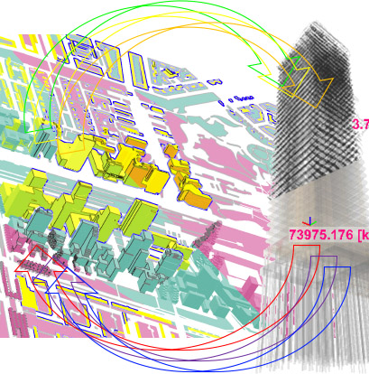
Workflow proposed for using GeoBIM information for the “Building permits issuing” use case, as resulting from the EuroSDR GeoBIM project. Some studies were used as base for the development of this workflow (Noardo et al., 2019; Noardo et al., 2019a - Please, cite also one of them when referring to this) together with the working sessions with the participation of all the partners during the project meetings. Moreover, it was reviewed later within Municipalities (e.g. Rotterdam, Den Haag, Amsterdam, some municipalities in Sweden).
Presentation explaining the workflow and the use of GeoBIM for Planning/Building Permits by L. Harrie, C. Ellul, EuroSDR Eduserve course, GeoBIM - Basic Principles and Use Cases
Project meetings
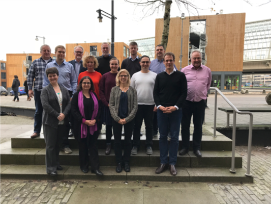
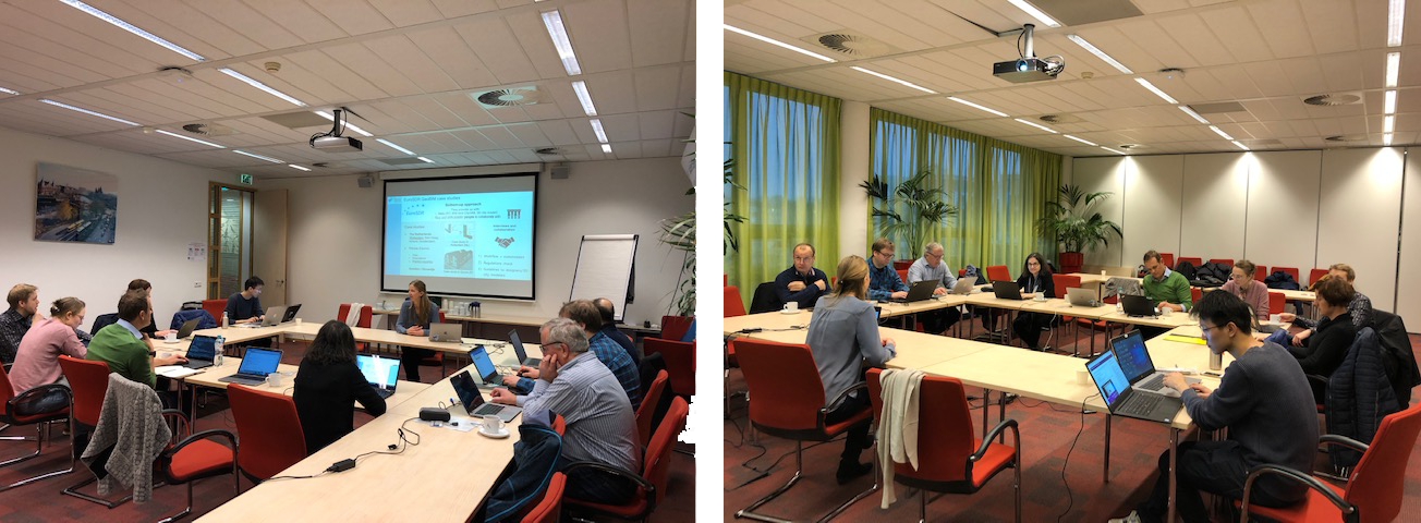
1st EuroSDR GeoBIM project meeting: Kick-off 29-30 November 2017, Amsterdam (NL).
Kick-off meeting of the EuroSDR GeoBIM project.
2nd EuroSDR GeoBIM project meeting: 8-9 May 2018, Amsterdam (NL).
First phase of the project: investigation of the state of play of GeoBIM in the participating Countries, through questionnaires.
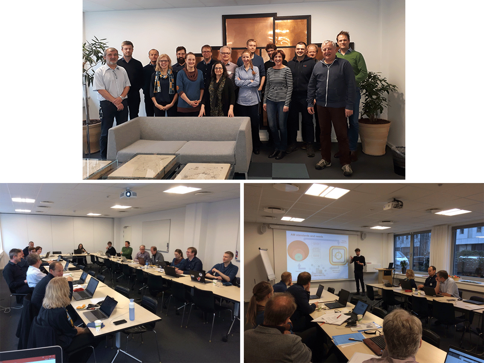
3rd EuroSDR GeoBIM project meeting: 26 September 2018, Amsterdam (NL).
Second phase of the project: GeoBIM for two use cases. First use case, building permission issuing: current practice in the participating Countries and GeoBIM workflow proposal.
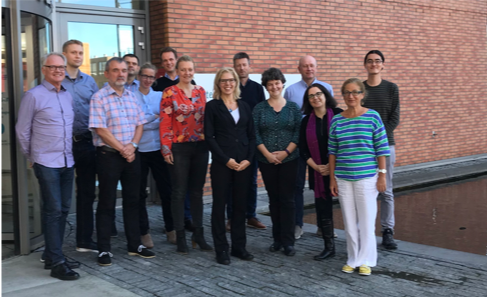
4th EuroSDR GeoBIM project meeting: 13-14 February 2019, Copenhagen (DK).
Second phase of the project. Use case building permission issuing: workflow improvement; results of interviews in Municipalities; useful data. Use case assets and facility management: introduction and discussion of the needed approach.
5th EuroSDR GeoBIM project meeting: 17-18 June 2019, Lund (SE).
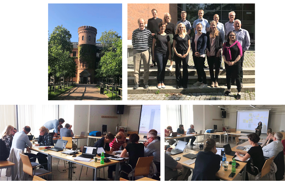
Second phase of the project. Use case building permission issuing: final workflow review in small working groups; further results of interviews in Municipalities. Second case study from France available, and more data are provided from the ICGC Catalunya. Use case assets and facility management: first results of the initial interviews with stakeholders.
6th EuroSDR GeoBIM project meeting: 17-18 January 2020, Amsterdam (NL).
Final phase of the project. Use case building permission issuing: final workflow approved by municipalities; further progress in the national related activities. A specific project on this use case will follow within an extended European network (see the [EUnet4DBP](https://3d.bk.tudelft.nl/projects/eunet4dbp/)). Use case assets and facility management: more results from a workshop in Italy and further interviews with stakeholders.
7th EuroSDR GeoBIM project meeting: 12 November 2020, Web-meeting.
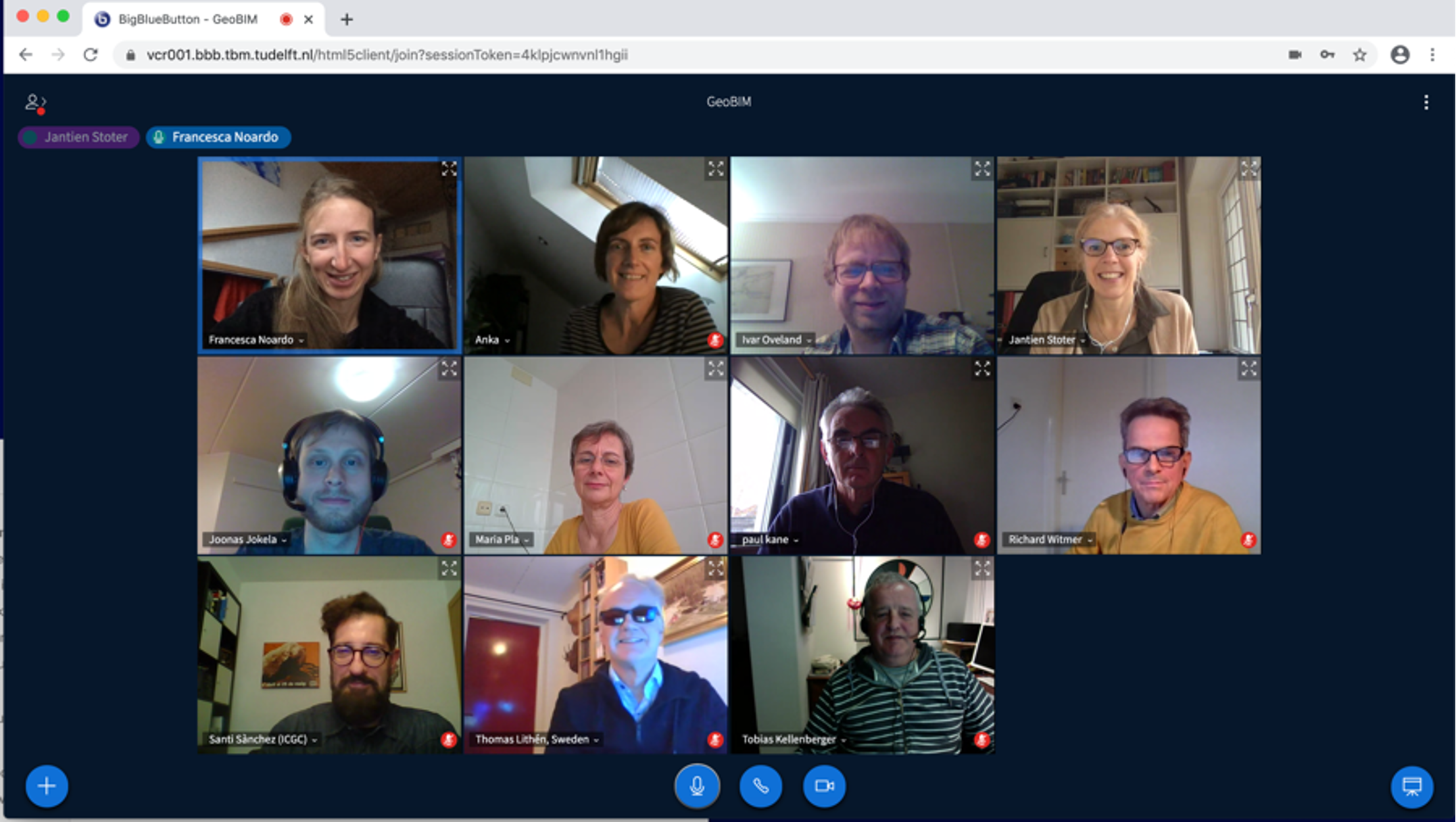
Final meeting of the project. Many related initiatives are ongoing and planned in the participants' countries. The sharing of experiences and exchange about relevant outcomes as well as on main challenges will follow beyond the end of the project as well, as object of another collaboration of the EuroSDR 3D SIG.
Presentations
Presentation at the GEOBIM conference 11-12 November 2019 in Amsterdam
Presentation at the 3D Geoinfo 2019 conference 23rd-27th September 2019, Singapore
Presentation at the GeoDesign+BIM conference 2nd November 2018 in Amsterdam (NL)
Presentation at the 3DGeoinfo conference 1st October 2018 in Delft (NL)
Project partners

NMCAs


Universities
Connected projects