MuSICA project
Multisource Spatial data Integration for smart City Applications
Summary
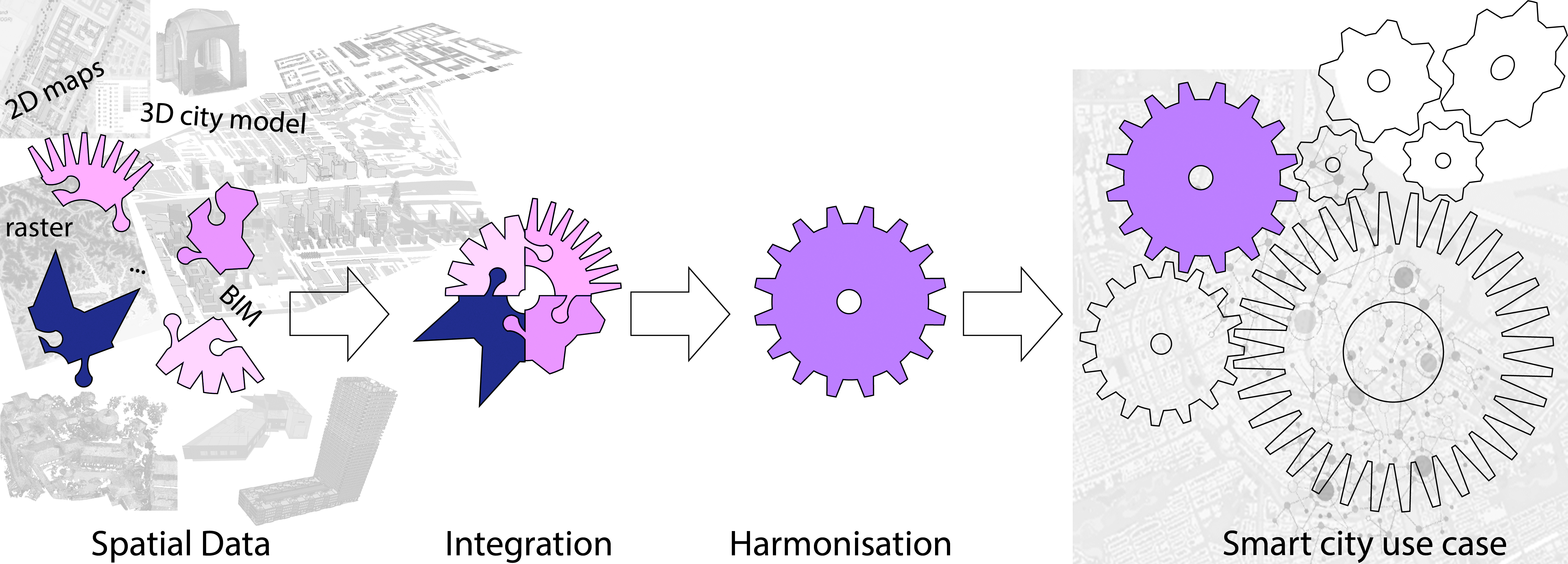
A huge amount of spatial information, 2D and 3D is nowadays available, from many valuable sources (3D city models, Building Information Models, cadastral maps, sensor data, and so on). However, their suitable territorial continuity enabling smart cities analysis is still a challenge.
This project was awarder within the EU Marie Slodowska Curie cofund ‘LEading Fellows’ Postdoc Programme.
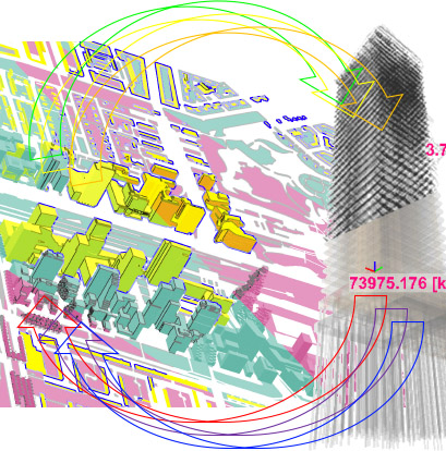
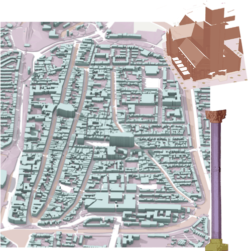
The project ‘Multisource Spatial data integration for smart city applications’ aims at the automatic generation of a harmonised 3D map from the integration and improvement of existing spatial information, to be effective support of specific smart cities-related use cases.
A serious gap will be addressed, which at present can be found in all the integration procedures of spatial information: it is hard, even for the most effective procedures, to overcome the inhomogeneity of original data sources that are a consequence of differences in survey and modelling (e.g. accuracy, choice of the represented details, conventions, semantics).
A methodology will be developed, for obtaining complete, up-to-date and semantically rich 3D maps derived from the integration, through ontologies, of several kinds of information (e.g. 3D city models, 2D maps, models with design and construction information, sensor data) and from multiple sources (e.g. institutional repositories, open data, data collected by citizens).
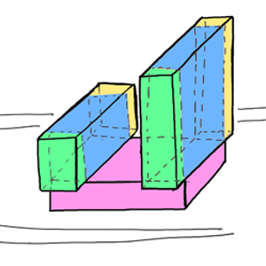
The objects in such integrated digital map will be reciprocally harmonised to be suitable for two specific use cases, by generalising them when too detailed, or adding needed details when these are not present.
This is a two-years project, from January 2020 to December 2021.
Results
Noardo F. Multisource spatial data integration for use cases applications. Preprint in Preprints, 2021.
Data readiness and practice investigation
Noardo F., Arroyo Ohori K., Krijnen T., Stoter J. An Inspection of IFC Models from Practice. Applied Sciences. 2021; 11(5):2232.
Noardo F., Malacarne G. Digital building permit: a state of play - I EUnet4DBP International workshop on Digital Building Permit. EuroSDR report. 2021
Noardo F., Wu T., Arroyo Ohori K., Krijnen T., Stoter J. IFC models for semi-automating common planning checks for building permits. Automation in Construction 134, 2022, pp. 104097.
Ontologies for data integration
E. Colucci, M. Kokla and F. Noardo. Ontology-based data mapping to support planning in historical urban centres. The International Archives of the Photogrammetry, Remote Sensing and Spatial Information Sciences, 2021, pp. 39–45.
Funding

This project has received funding from the European Union’s Horizon 2020 research and innovation programme under the Marie Skłodowska-Curie grant agreement No 707404.
Connected projects