Rotterdam multi-LoDs CityGML buildings
Short description
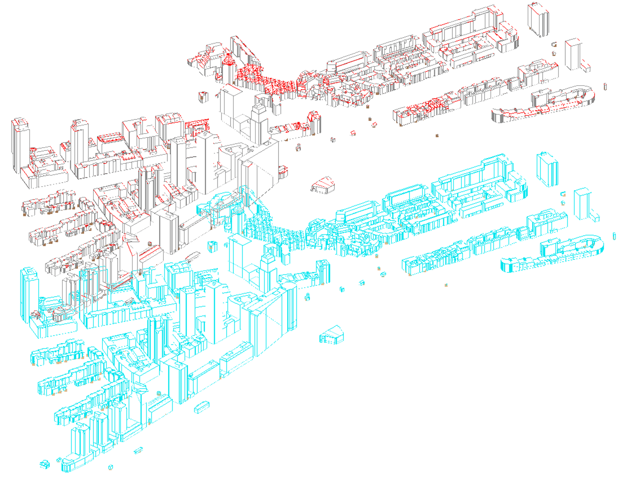
Surrounding area of the Up:Town building (one of the provided IFC model for this benchmark); it represents the Maritiem district in Rotterdam.
This is an open data produced and provided by the Municipality of Rotterdam.
Only buildings are included, and they are represented in 2 Levels of Details (LoDs): LoD1 (extruded building footprints), LoD2 (more detailed external surfaces of the buildings, with realistic roof shapes and different semantics for walls and roofs). Check the CityGML description in the benchmark website and related documentation to have more details.
The textures for LoD2 are also present (in the updated version of the file 11/06/2019).
The file was further checked, validated and improved through ‘3DcityDB’ and ‘Safe Software FME’ Validation tools, manual editing and processing through FME tools.
An improved and corrected version is published on 11th June 2019. Please, download and use this new version (at the end of this page).
Technical details
Name of the file: RotterdamLOD12.gml
Used CityGML version: 2
Level(s) of Detail: LoD 1 & LoD 2 (in the same GML file)
The geometries are all managed as MultiSurfaces.
Georeferencing details
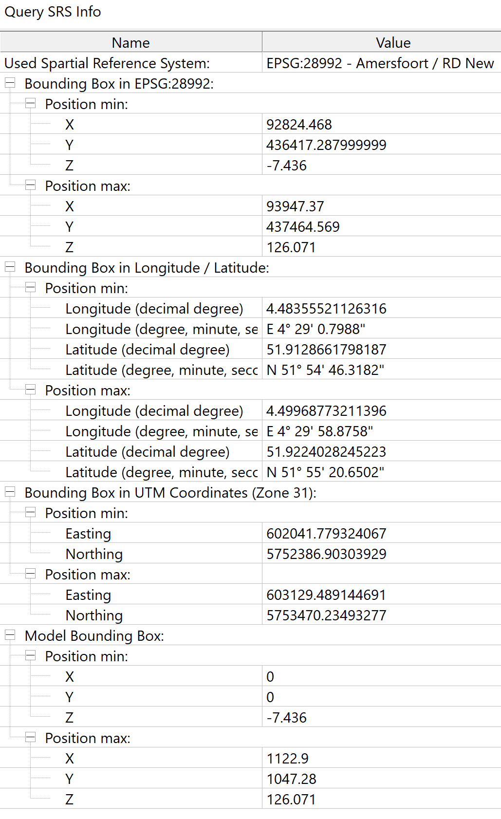
Coordinate reference system: EPSG: 28992 – Amersfoort / RD New
Bounding box coordinates:
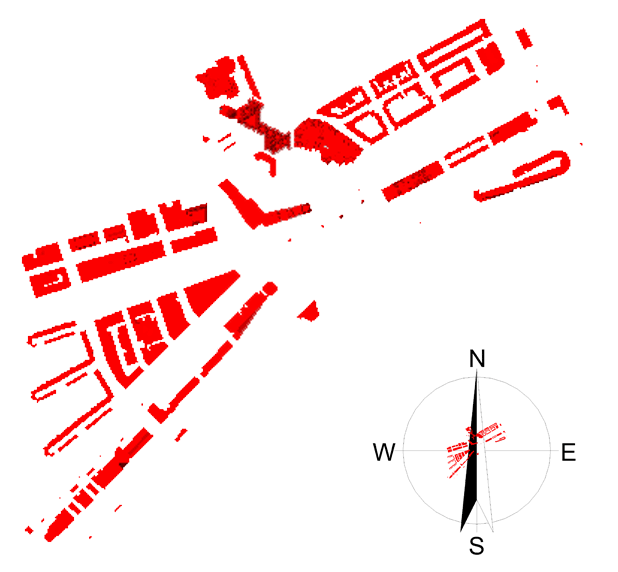
Model orientations:
Semantics details
Here, the entities included in the model are listed model (you can read the CityGML documentation for their full description):
- core:CityModel
- core:xalAddress
- bldg:Buildings
- bldg:BuildingInstallation
- bldg:BuildingPart
- bldg:ClosureSurface
- bldg:GroundSurface
- bldg:OuterCeilingSurface
- bldg:RoofSurface
- bldg:WallSurface
3+4 Elements
In the following images and videos you can see the model (in the software Azul), with the classification (and hierarchies) of objects and attributes of specific elements, to be used as reference while performing the Task 3. From these views you can also have a view about how the geometry looks like, in order to have a visual reference for testing your software.
LoD 1 geometry
Element 1
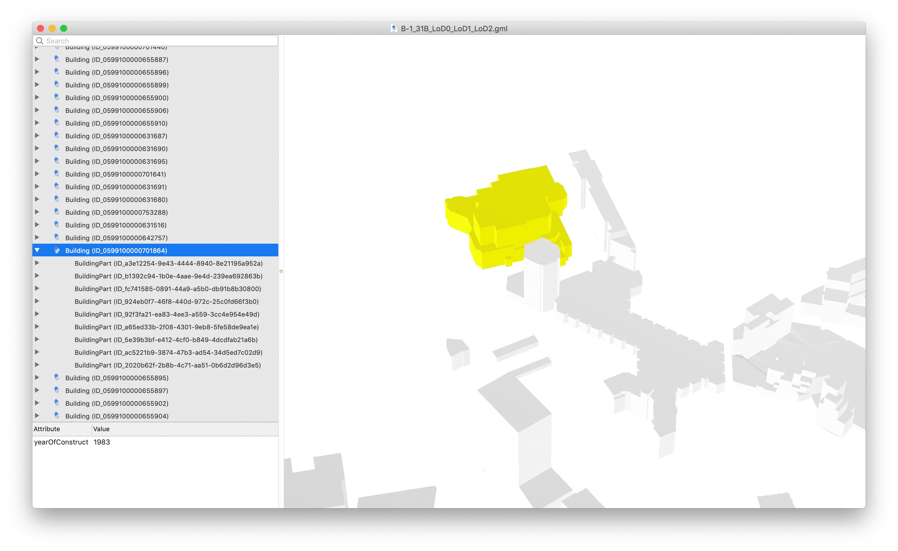
Element 2
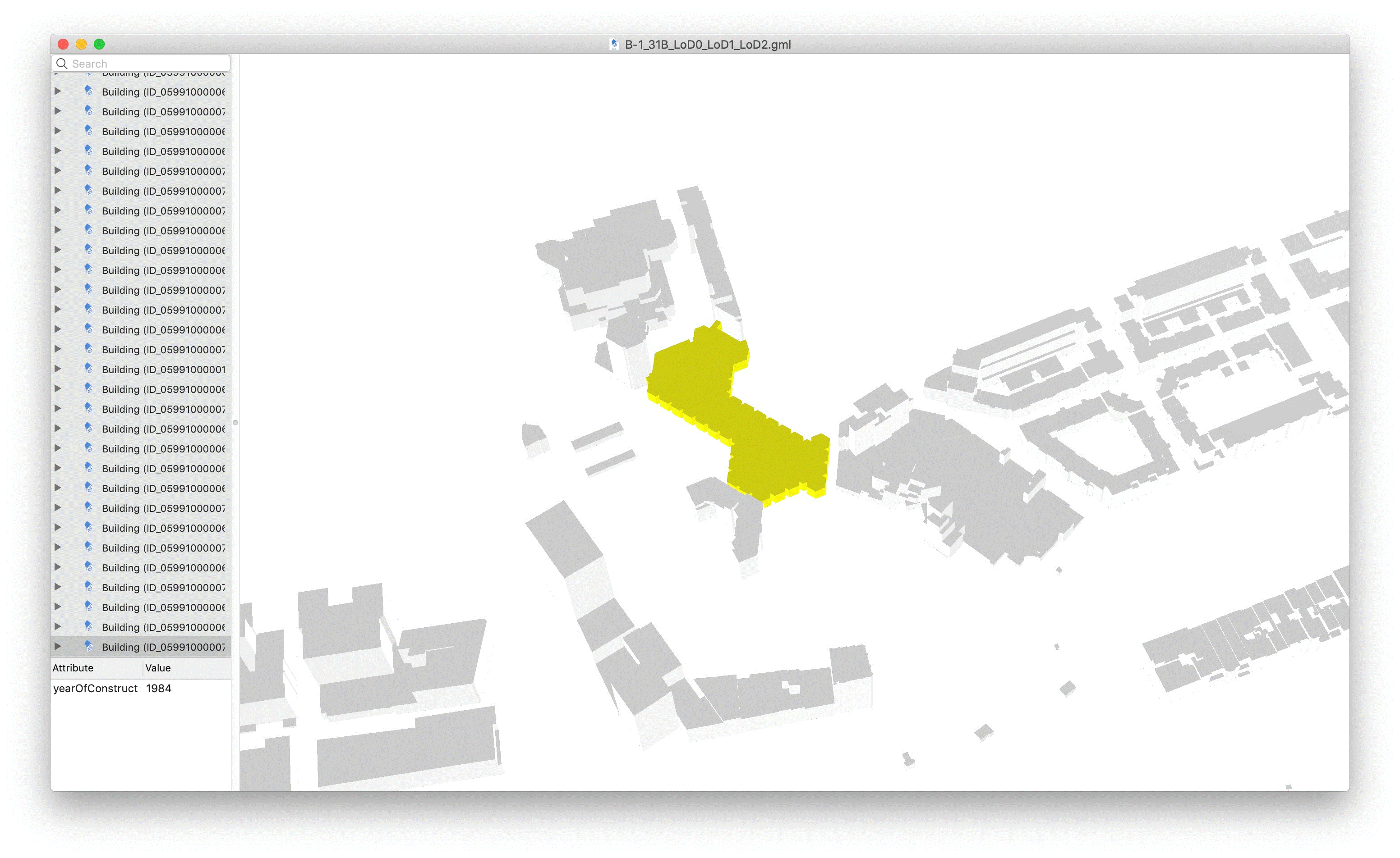
Element 3
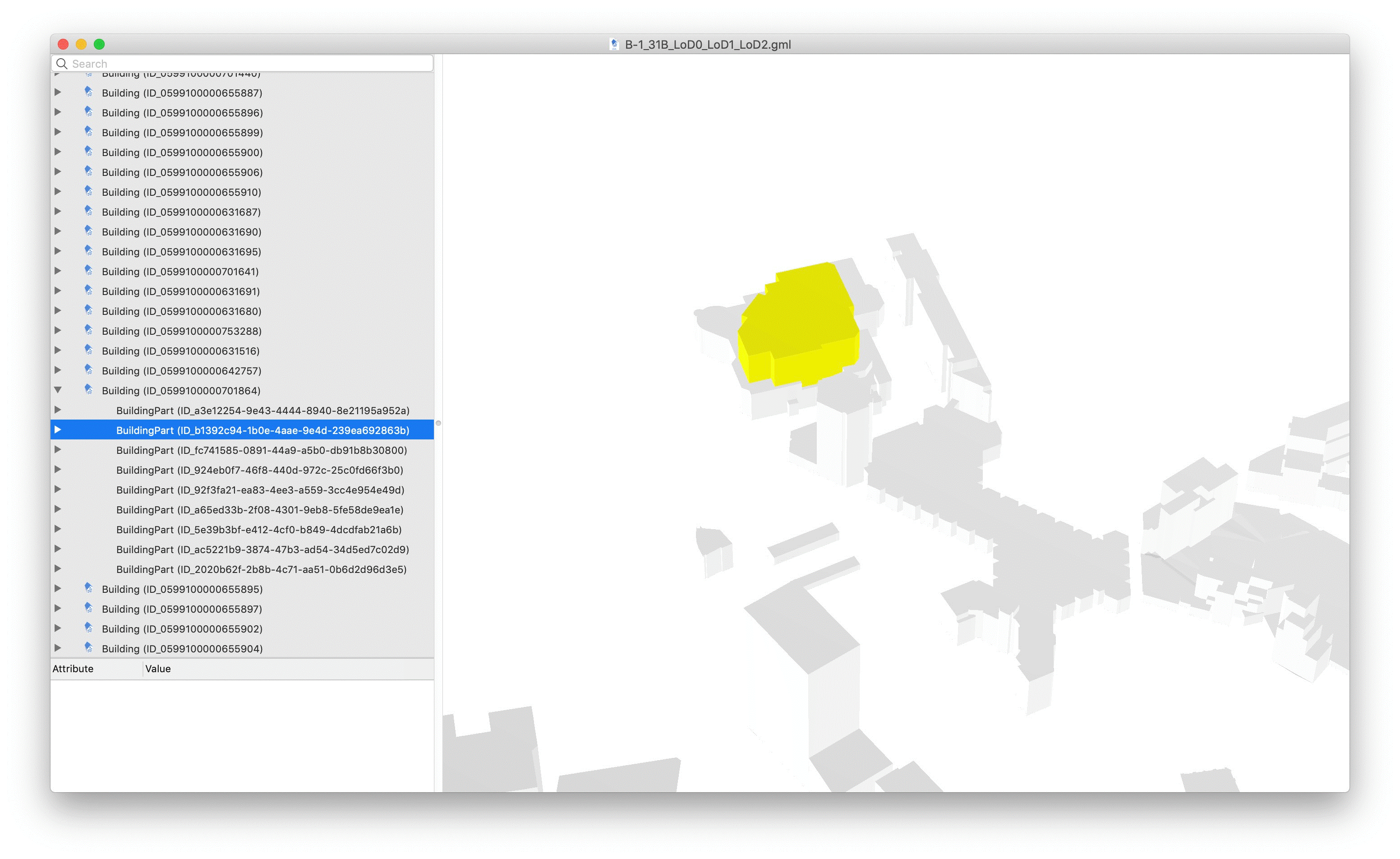
LoD 2 geometry
Element 3
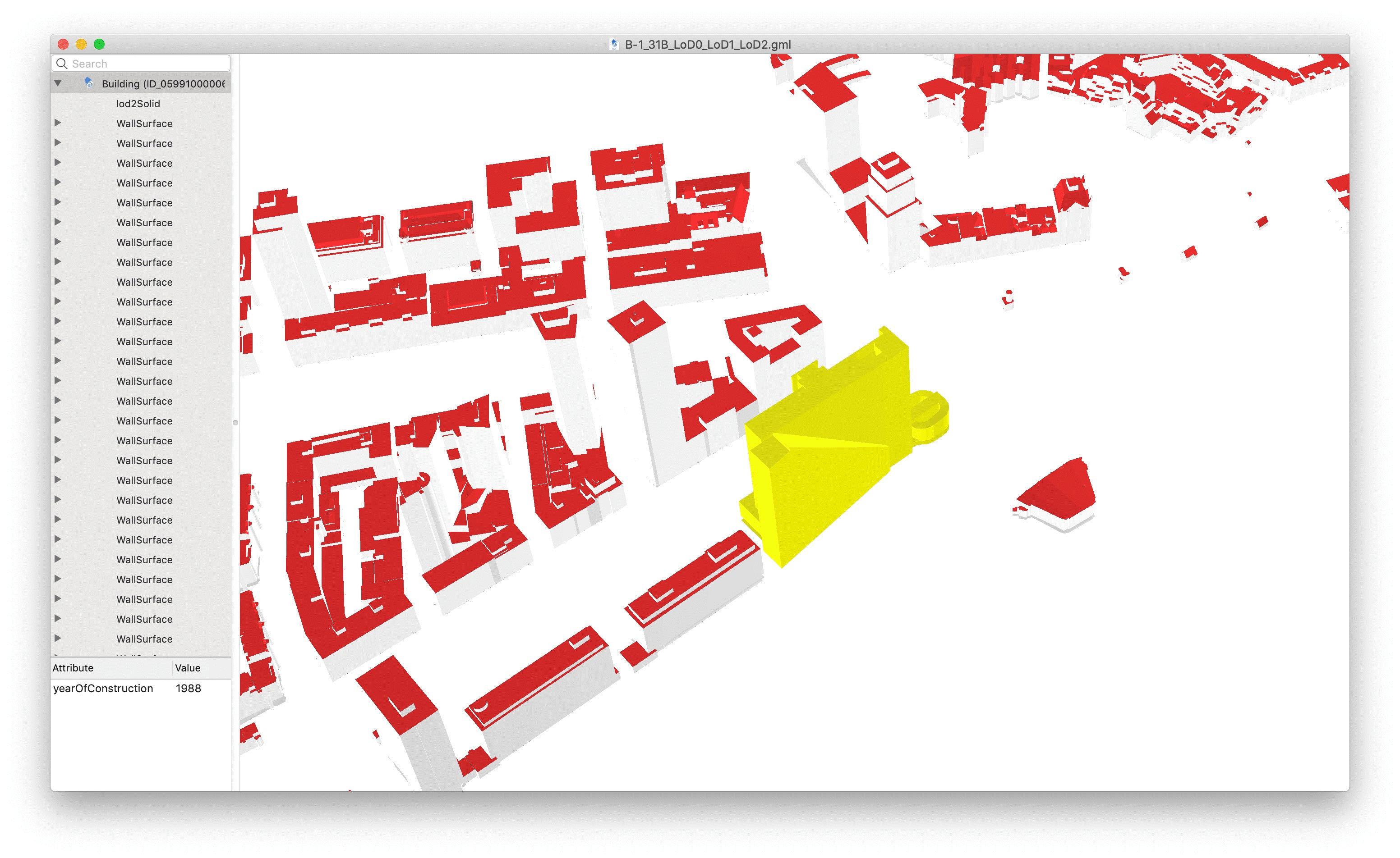
Element 4
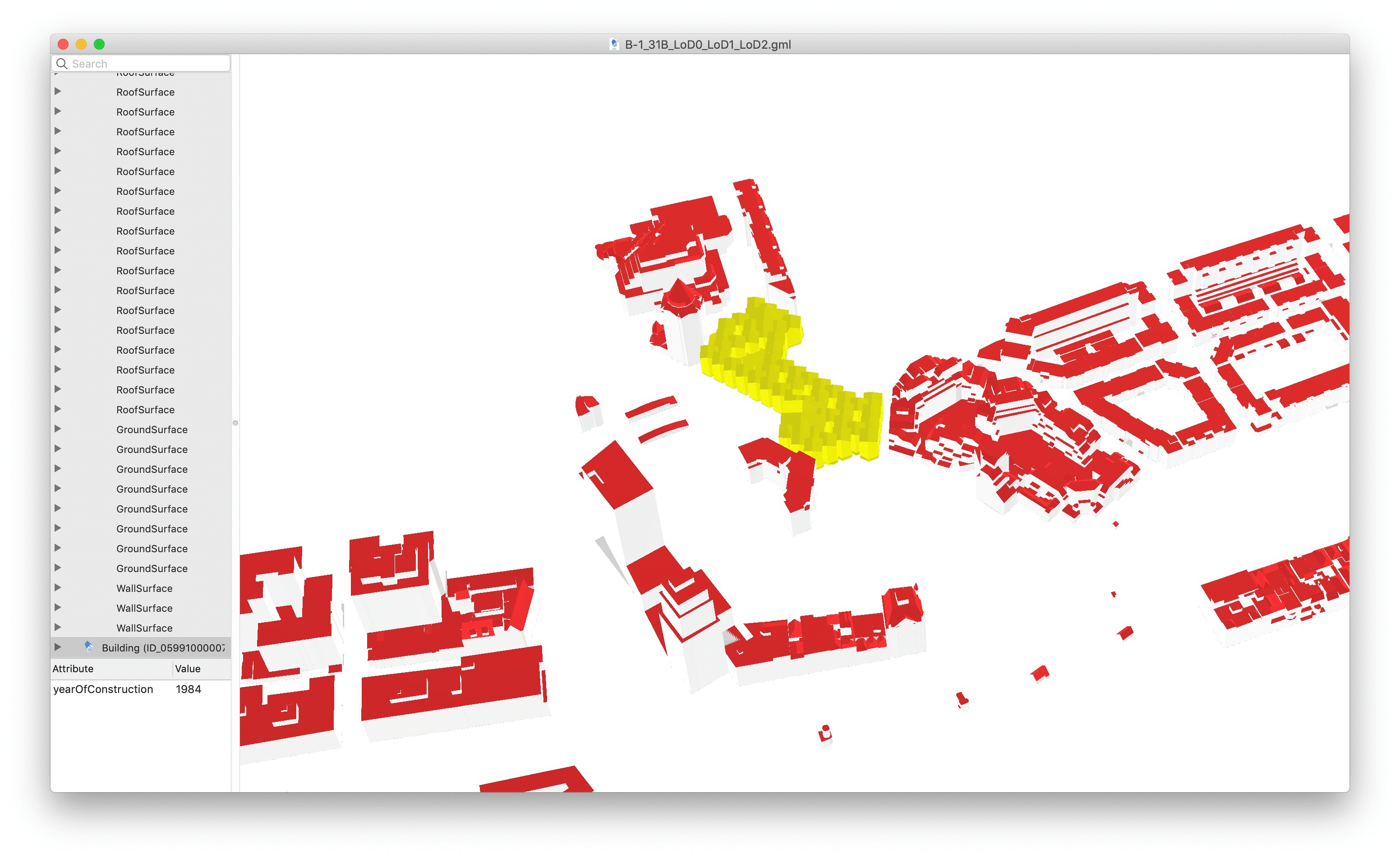
Element 5
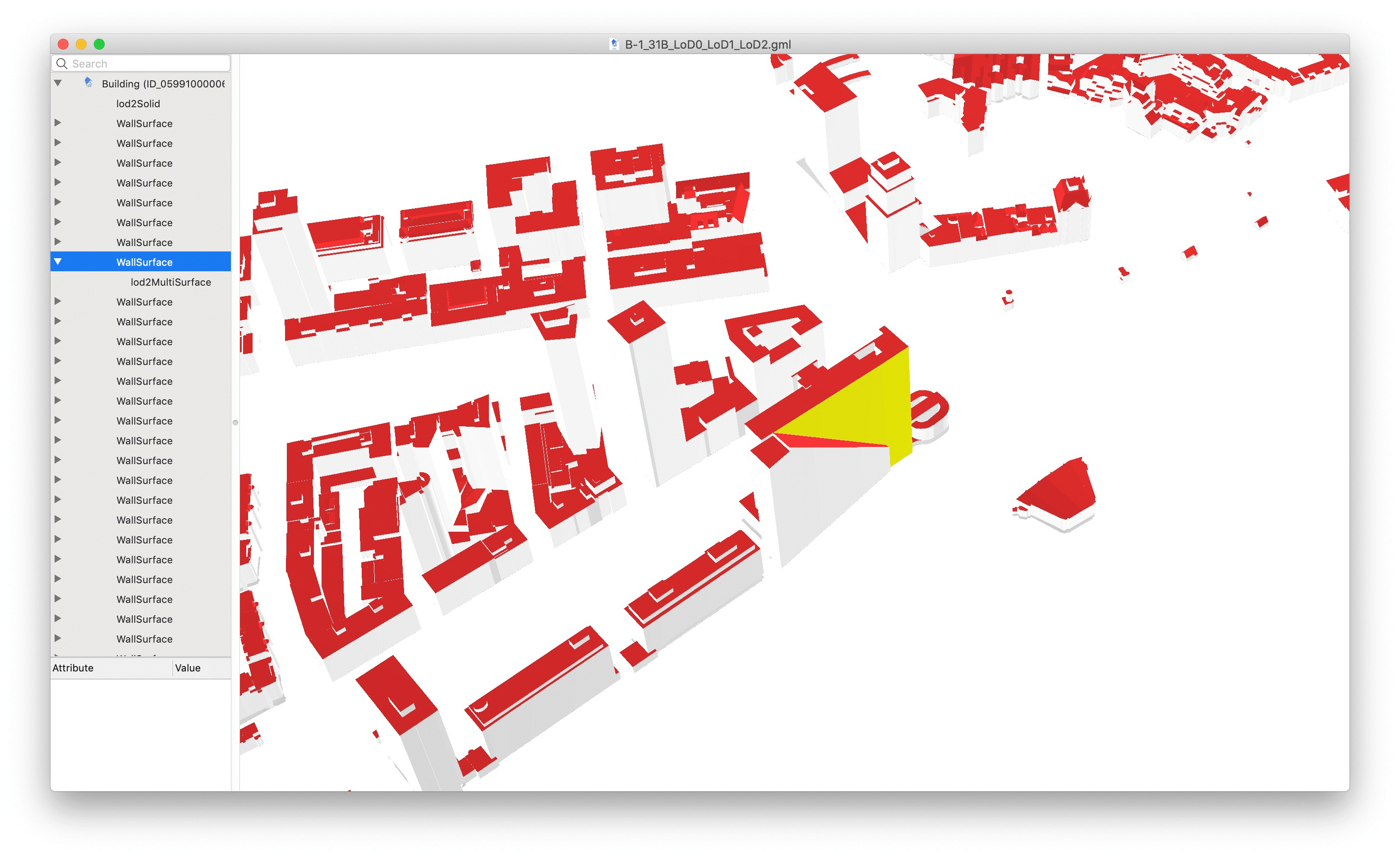
Element 6
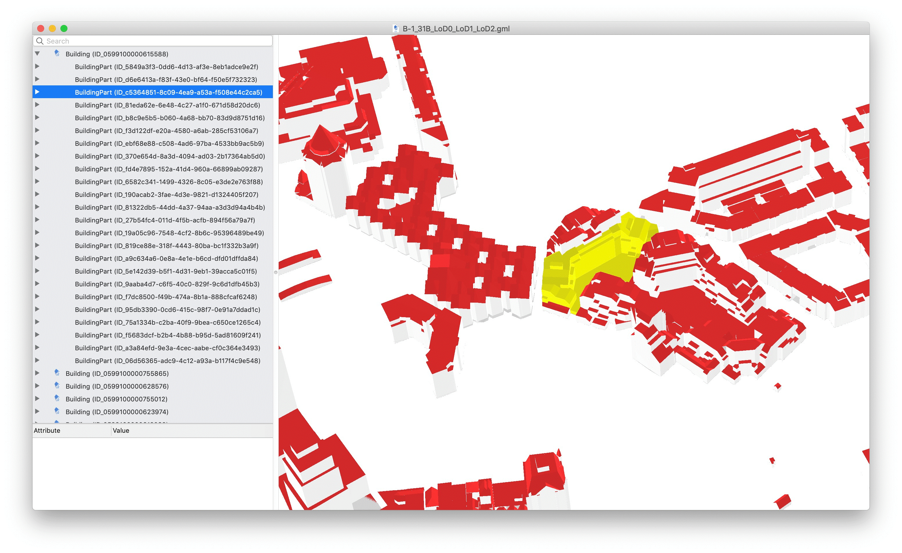
Grouping relationships
Reference for checking the part-of relationships:
Video of the LoD 1 model
Video of the LoD 2 model
Download
You can download the RotterdamLOD12.gml data (corrected version 11/06/2019) from this link.
Important dates and next steps
March 2019
- Complete materials available
- Start of declaration of interest from participants
July 8th, 2019
- GeoBIM benchmark meeting with participants and proponents
October 31st, 2019
- Deadline for data processing and benchmark answer submission
December 2nd-3rd, 2019
