

Amsterdam CityGML model LoD 1
Short description
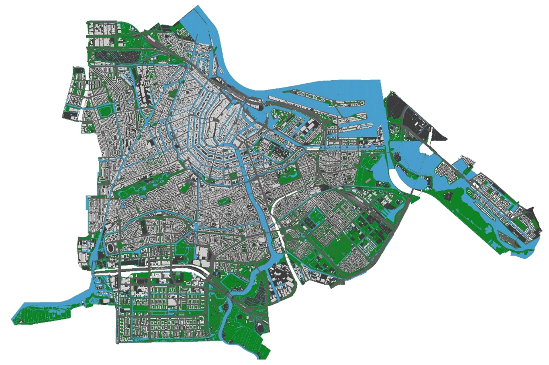
This model represents the city of Amsterdam in CityGML, including all the entities for a seamless 3D city model (buildings, roads, vegetation, and so on).
It was produced with the software 3dfier by the TUDelft 3D geoinformation group, and slightly modified for the purposes of the benchmark.
The used Level of Detail (LoD) is 1. Check the CityGML description in the website and related documentation to have more details.
Technical details
Name of the file: Amsterdam.gml
Used CityGML version: 2
Level(s) of Detail: LoD 1
The geometries are all managed as MultiSurfaces.
Georeferencing details
Coordinate reference system: EPSG: 7415 (Combined SRS for 3D data, based on Amersfoort / RD New system)
Envelope lowerCorner:
E 116137.400
N 481250.300
H 0
Envelope upperCorner:
E 129664.253
N 490288.900
H 100
Semantics details
Here, the entities included in the model are listed model (you can read the CityGML documentation for their full description):
- core:CityModel
- LandUse
- WaterBody
- Road
- bldg:Buildings
- PlantCover
- GenericCityObject
- Bridge
4 Elements
In the following images (in the software Azul), you can see the classification (and hierarchies) of specific elements, to be used as reference while performing the Task 3. From these views you can also have a view about how the geometry looks like, in order to have a visual reference for testing your software.
Element 1 - WaterBody
 Waterbody (in yellow).")
Element 2 - LandUse
 LandUse (in yellow).")
Element 3 - Building
For this element it is also possible to consider the attribute ‘measuredHeight’ (value 11.74 m)
 Building (in yellow)")
Element 4 - PlantCover
 PlantCover (in yellow).")
Download
You can download the amsterdam.gml data from this link
Important dates and next steps
March 2019
- Complete materials available
- Start of declaration of interest from participants
July 8th, 2019
- GeoBIM benchmark meeting with participants and proponents
October 31st, 2019
- Deadline for data processing and benchmark answer submission
December 2nd-3rd, 2019
Team
Francesca NoardoKen Arroyo Ohori
Jantien Stoter
Filip Biljecki
Claire Ellul
Lars Harrie
Thomas Krijnen
Giorgio Agugiaro
Margarita Kokla