Extraction of 3D City Objects from a 4D Model
Overview
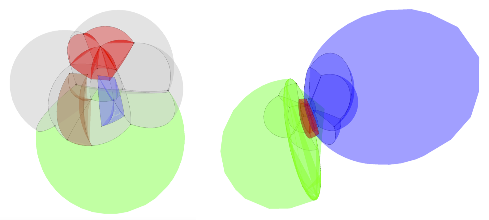
Objects of more than three dimensions can be used to model geographic phenomena that occur in space, time and scale. For instance, a single 4D object can be used to represent the changes in a 3D object’s shape across time or all its optimal representations at various levels of detail.
Higher-dimensional objects can be however unintuitive, and extracting meaningful information from them is a challenge. This research line aims to solve this problem by developing techniques to extract particular 3D city objects from a 4D model.
Activities
- 01 Aug 2022 Published paper: "3D building metrics for urban morphology"
- 11 Mar 2022 Presented "3D Building Metrics for Urban Morphology" at the Urban Analytics Lab Seminar Series at the National University of Singapore
- 02 Nov 2021 Awarded the Geospatial World Excellence Award at GWF 2021 for developing the 3D BAG platform.
- 14 Oct 2021 Awarded the Outstanding paper: 3D Processing & Visualization title in 3D Geoinfo 2021, for participating in Clara et al's publication 'The impact of level of detail in 3D city models for CFD-based wind flow simulations'.
- 01 Jul 2021 Presented at the ISPRS TC IV Webinar Series 'State-of-the-art in Spatial Information Science', presentation titled: 'CityJSON, a JSON-based encoding for storing 3D city models'
- 10 Sep 2020 Presented paper: "CityJSON + web = ninja" at the 2020 3D GeoInfo Conference.
- 24 Jun 2020 Published paper: "CityJSON in QGIS: development of an open-source plugin"
- 14 May 2020 Invited talk '3D Gebouw Reconstructie uit BAG+AHN3' by Ravi on De Grote Geo Show.
- 30 Apr 2020 Invited talk 'wat doet TU3D?' by Hugo on De Grote Geo Show.
- 18 Mar 2020 Article published in the GIM International Magazine: Business Guide 2020.
- 27 Sep 2019 Presented paper: "A Data Structure to Incorporate Versioning in 3D City Models" at the 2019 3D GeoInfo Conference.
- 27 Sep 2019 Awarded Best Paper Award (Runner-up) for the paper: "A Data Structure to Incorporate Versioning in 3D City Models" at the 2019 3D GeoInfo Conference.
- 25 Sep 2019 Presented paper: "GeoBIM Benchmark 2019: Intermediate Results" at the 2nd International IAG Workshop on BIM and GIS Integration.
- 25 Sep 2019 Presented paper: "EuroSDR GeoBIM Project a Study in Europe on how to use the Potentials of BIM and Geo Data in Practice" at the 2nd International IAG Workshop on BIM and GIS Integration.
- 15 Jul 2019 Published paper: "The LandInfra standard and its role in solving the BIM-GIS quagmire"
- 17 Jun 2019 Published paper: "CityJSON: a compact and easy-to-use encoding of the CityGML data model."
- 29 May 2019 Published paper: "Harmonising the OGC Standards for the Built Environment: A CityGML Extension for LandInfra"
- 22 Jan 2019 Invited talk 'Improving the usability of 3D city models' by Hugo at the Universität Münster GI-Forum
- 02 Oct 2018 Organised the 2018 3D GeoInfo Conference in Delft.
- 30 Sep 2018 Organised the pre-conference workshop "Automated reconstruction of 3D City Models and using them in urban applications" for the 2018 3D GeoInfo Conference in Delft.
- 30 Sep 2018 Developed an up-to-date 3D building service covering whole of the Netherlands 3D BAG. Published via 4TU Data Centre
- 20 Sep 2018 Published book chapter: "Modeling Cities and Landscapes in 3D with CityGML"
- 30 Aug 2018 Keynote at the GIScience conference in Melbourne.
- 24 Aug 2018 Open lecture at the National University of Singapore..
- 02 Aug 2018 Published paper: "Processing BIM and GIS Models in Practice: Experiences and Recommendations from a GeoBIM Project in The Netherlands"
- 29 Mar 2018 Published paper: "Essential Means for Urban Computing: Specification of Web-Based Computing Platforms for Urban Planning, a Hitchhiker’s Guide"
- 21 Mar 2018 Invited talk 'CityJSON---A JSON-based implementation of the CityGML data model' by Hugo at the OGC meeting (Orléans, France)
- 15 Mar 2018 (Co)organised a successfull international symposium on Point Clouds Processing.
- 01 Jan 2018 Ken Arroyo Ohori officially started working on UMnD.
- 30 Dec 2017 Jantien Stoter interviewed for ten years anniversary ERC ERC Anniversary interview.
- 27 Nov 2017 Invited talk 'CityGML (as an encoding) is dood, lang leven CityJSON!' by Hugo at the the Geonovum Springplank (Amersfoort, the Netherlands)
- 24 Nov 2017 Invited presentation at the GeoBIM conference in Amsterdam.
- 02 Nov 2017 Jantien Stoter nominated for personal Geo Prestige Award Professional Geo Prestige Professional Award.
- 17 Oct 2017 Published paper: "Towards an integration of GIS and BIM data: what are the geometric and topological issues?" in 3D Geoinfo 2017.
- 03 Jul 2017 Published paper: "Visualising higher-dimensional space-time and space-scale objects as projections to R3".
- 30 Mar 2017 We co-organised the EuroSDR workshop on economic value of 3D Geoinformation at ICGC Barcelona
- 17 Mar 2017 We organised the technial meeting of the worldwide standardisation organisation of geographical information (OGC) in Delft (200+ participants) OGC TC Meeting Delft
- 15 Mar 2017 We organised the Symposium 3D urban modelling with Prof Thomas H. Kolbe
- 02 Feb 2017 The project was shown during the Research Exhibition of Delft University of Technology (175th anniversary).
- 02 Feb 2017 Jantien (PI) participated in working visit of Dutch delegation (industry, academia and government) to London.
- 25 Nov 2016 We organised the National 3D symposium (150+ participants)
- 01 Sep 2016 Jantien appointed as Principal Investigator at Amsterdam Institute of Advanced Matropolitan Solutions