Report on georeferencing of BIM models by Abdoulaye Diakité
Mar 9, 2018
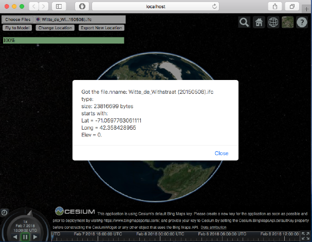
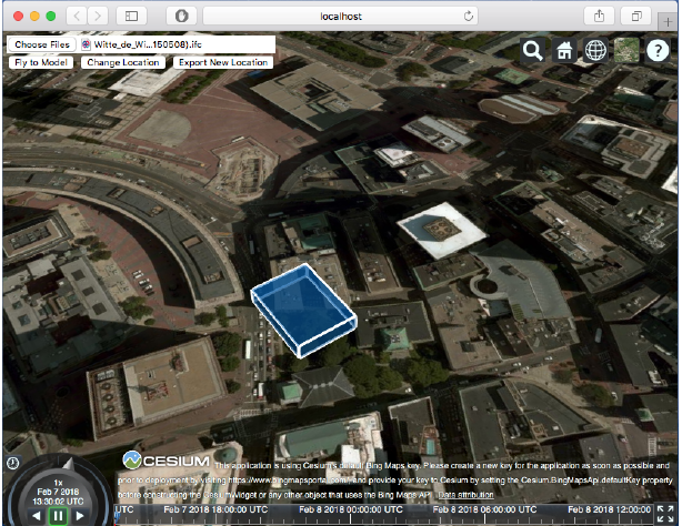
In this report, Abdoulaye Diakité studies how the geographic coordinates of a construction project should be integrated in its 3D model such that the information is kept in the context of a GIS application. The study covers the case of BIMs designed using the Autodesk Revit software and exported as IFC. Furthermore, the report describes the developed web service interface which allows to visualise the geographic position associated with an IFC file and correct its Latitude/Longitude by picking a new location. The tool is based on the Cesium project allowing to visualise the process on a 3D globe.