Success on 3D IMGeo: reconstruct it yourself!
Nov 3, 2017
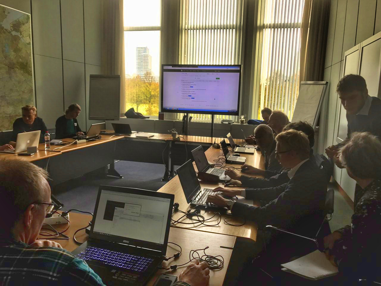
On 1st of November, as part of Geo users Festival, our group had the pleasure to organise the ‘3D IMGeo: reconstruct it yourself!’ workshop. We were glad to have a full room of participants.
Ravi Peters gave a presentation regarding 3D IMGeo’s capabilities and 3dfier, software that we have developed for creating 3D datasets by combining 2D data and elevation information. We have developed this software in collaboration with our partners (Kadaster, NWO, AMS). Ravi and Stelios Vitalis assisted the participants through the process of creating and visualising 3D models on their computers.
You may find the presentation material here.
We thank everyone for joining and hope to see people creating and sharing their own 3D data.
