Participation in the 2019 3D GeoInfo Conference
Sep 30, 2019
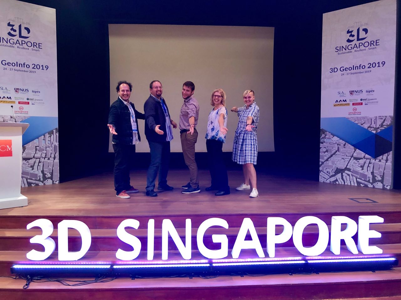
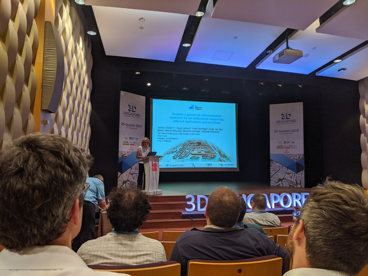
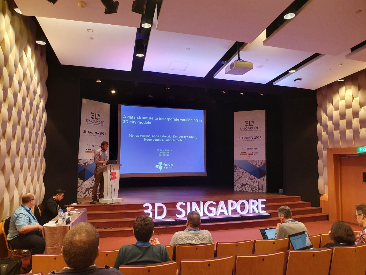
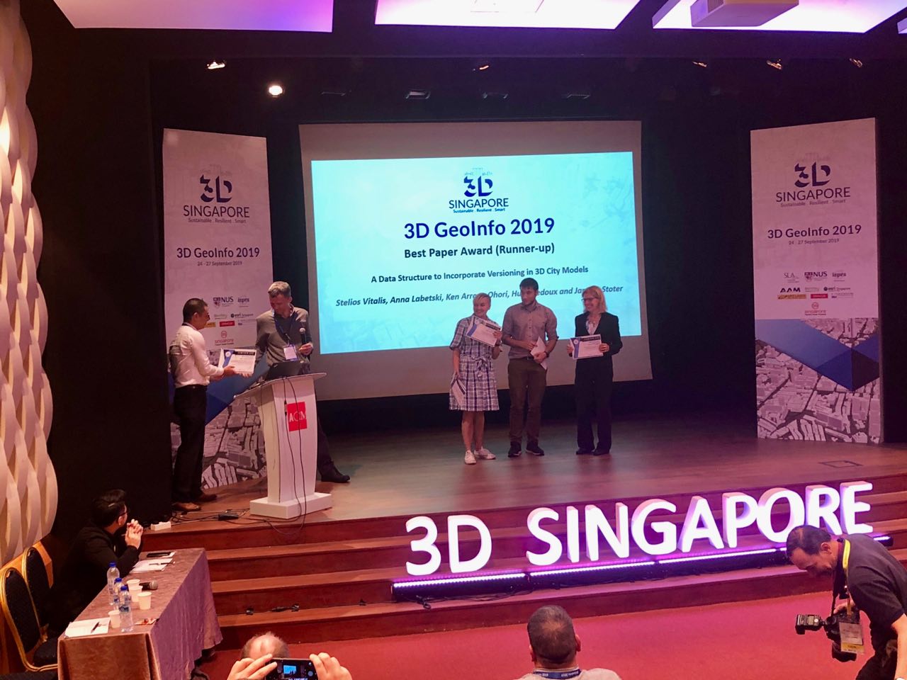
Our group had the pleasure of presenting at the 14th 3D GeoInfo Conference and the 2nd International IAG Workshop on BIM and GIS Integration, hosted in Singapore by NUS and SLA. We were well represented with 9 (!!!) papers accepted! From the photos you can see we managed to have some fun as well! 🎉🎊🥳 We were also honoured to win the Best Paper Award (Runner-up) for the paper “A Data Structure to Incorporate Versioning in 3D City Models”. All papers are open access and can be accessed via the links below.
📖📚📘
A Data Structure to Incorporate Versioning in 3D City Models. Stelios Vitalis, Anna Labetski, Ken Arroyo Ohori, Hugo Ledoux and Jantien Stoter. 14th 3D GeoInfo Conference 2019, ISPRS Annals of the Photogrammetry, Remote Sensing and Spatial Information Sciences IV-4(W8). 2019.
DOI BibTeX
DOI BibTeX
@incollection{Vitalis3DGeoInfo2019,
	Author = {Stelios Vitalis and Anna Labetski and Ken {Arroyo Ohori} and Hugo Ledoux and Jantien Stoter},
	Booktitle = {14th 3D GeoInfo Conference 2019},
	Doi = {10.5194/isprs-annals-IV-4-W8-123-2019},
	Oa = {True},
	Pages = {123--130},
	Publisher = {ISPRS},
	Series = {ISPRS Annals of the Photogrammetry, Remote Sensing and Spatial Information Sciences},
	Title = {A {D}ata {S}tructure to {I}ncorporate {V}ersioning in 3{D} {C}ity {M}odels},
	Volume = {IV-4},
	Number = {W8},
	Year = {2019},
	Bdsk-Url-1 = {https://www.isprs-ann-photogramm-remote-sens-spatial-inf-sci.net/IV-4-W8/123/2019}}
Towards a Generic 3D Standardisation Approach for the Netherlands Supporting Different Applications and Encodings. J. Stoter, H. Ledoux, F. Penninga, L. van den Brink, M. Reuvers, M. Vermeij and M. G. Wiersma. 14th 3D GeoInfo Conference 2019, ISPRS - International Archives of the Photogrammetry, Remote Sensing and Spatial Information Sciences XLII-4(W15). 2019.
DOI BibTeX
DOI BibTeX
@incollection{Stoter3DGeoInfo2019b,
	Author = {Stoter, J. and Ledoux, H. and Penninga, F. and van den Brink, L. and Reuvers, M. and Vermeij, M. and Wiersma, M. G.},
	Booktitle = {14th 3D GeoInfo Conference 2019},
	Doi = {10.5194/isprs-archives-XLII-4-W15-89-2019},
	Oa = {True},
	Pages = {89--96},
	Publisher = {ISPRS},
	Series = {ISPRS - International Archives of the Photogrammetry, Remote Sensing and Spatial Information Sciences},
	Title = {Towards a {G}eneric {3D} {S}tandardisation {A}pproach for the {N}etherlands {S}upporting {D}ifferent {A}pplications and {E}ncodings},
	Volume = {XLII-4},
	Number = {W15},
	Year = {2019},
	Bdsk-Url-1 = {https://www.int-arch-photogramm-remote-sens-spatial-inf-sci.net/XLII-4-W15/89/2019}}
Considerations for a Contemporary 3D Cadastre for our Times. Jantien Stoter, Serene Ho and Filip Biljecki. 14th 3D GeoInfo Conference 2019, ISPRS - International Archives of the Photogrammetry, Remote Sensing and Spatial Information Sciences XLII-4(W15). 2019.
DOI BibTeX
DOI BibTeX
@incollection{Stoter3DGeoInfo2019a,
	Author = {Jantien Stoter and Serene Ho and Filip Biljecki},
	Booktitle = {14th 3D GeoInfo Conference 2019},
	Doi = {10.5194/isprs-archives-XLII-4-W15-81-2019},
	Oa = {True},
	Pages = {81--88},
	Publisher = {ISPRS},
	Series = {ISPRS - International Archives of the Photogrammetry, Remote Sensing and Spatial Information Sciences},
	Title = {Considerations for a {C}ontemporary {3D} {C}adastre for our {T}imes},
	Volume = {XLII-4},
	Number = {W15},
	Year = {2019},
	Bdsk-Url-1 = {https://www.int-arch-photogramm-remote-sens-spatial-inf-sci.net/XLII-4-W15/81/2019}}
EuroSDR GeoBIM Project a Study in Europe on how to use the Potentials of BIM and Geo Data in Practice. Francesca Noardo, Claire Ellul, Lars Harrie, Emmanuel Devys, Ken Arroyo Ohori, Perola Olsson and Jantien Stoter. 14th 3D GeoInfo Conference 2019, ISPRS - International Archives of the Photogrammetry, Remote Sensing and Spatial Information Sciences XLII-4(W15). 2019.
DOI BibTeX
DOI BibTeX
@incollection{Noardo3DGeoInfo2019b,
	Author = {Francesca Noardo and Claire Ellul and Lars Harrie and and Emmanuel Devys and Ken {Arroyo Ohori} and Perola Olsson and Jantien Stoter},
	Booktitle = {14th 3D GeoInfo Conference 2019},
	Doi = {10.5194/isprs-archives-XLII-4-W15-53-2019},
	Oa = {True},
	Pages = {53--60},
	Publisher = {ISPRS},
	Series = {ISPRS - International Archives of the Photogrammetry, Remote Sensing and Spatial Information Sciences},
	Title = { {EuroSDR GeoBIM Project a Study in Europe on how to use the Potentials of BIM and Geo Data in Practice} },
	Volume = {XLII-4},
	Number = {W15},
	Year = {2019},
	Bdsk-Url-1 = {https://www.int-arch-photogramm-remote-sens-spatial-inf-sci.net/XLII-4-W15/53/2019}}
GeoBIM Benchmark 2019: Intermediate Results. Francesca Noardo, Filip Biljecki, Giorgio Agugiaro, Ken Arroyo Ohori, Claire Ellul, Lars Harrie and Jantien Stoter. 14th 3D GeoInfo Conference 2019, ISPRS - International Archives of the Photogrammetry, Remote Sensing and Spatial Information Sciences XLII-4(W15). 2019.
DOI BibTeX
DOI BibTeX
@incollection{Noardo3DGeoInfo2019a,
	Author = {Francesca Noardo and Filip Biljecki and Giorgio Agugiaro and Ken {Arroyo Ohori} and Claire Ellul and Lars Harrie and Jantien Stoter},
	Booktitle = {14th 3D GeoInfo Conference 2019},
	Doi = {10.5194/isprs-archives-XLII-4-W15-47-2019},
	Oa = {True},
	Pages = {47--52},
	Publisher = {ISPRS},
	Series = {ISPRS - International Archives of the Photogrammetry, Remote Sensing and Spatial Information Sciences},
	Title = { {GeoBIM Benchmark 2019: Intermediate Results} },
	Volume = {XLII-4},
	Number = {W15},
	Year = {2019},
	Bdsk-Url-1 = {https://www.int-arch-photogramm-remote-sens-spatial-inf-sci.net/XLII-4-W15/47/2019}}
A Survey on the Adoption of GIS Data and Standards in Urban Application Domains. Kavisha Kumar, Anna Labetski, Giorgio Agugiaro and Jantien Stoter. 14th 3D GeoInfo Conference 2019, ISPRS - International Archives of the Photogrammetry, Remote Sensing and Spatial Information Sciences XLII-4(W15). 2019.
DOI BibTeX
DOI BibTeX
@incollection{Kumar3DGeoInfo2019b,
	Author = {Kavisha Kumar and Anna Labetski and Giorgio Agugiaro and Jantien Stoter},
	Booktitle = {14th 3D GeoInfo Conference 2019},
	Doi = {10.5194/isprs-archives-XLII-4-W15-41-2019},
	Oa = {True},
	Pages = {41--46},
	Publisher = {ISPRS},
	Series = {ISPRS - International Archives of the Photogrammetry, Remote Sensing and Spatial Information Sciences},
	Title = {A {S}urvey on the {A}doption of {GIS} {D}ata and {S}tandards in {U}rban {A}pplication {D}omains},
	Volume = {XLII-4},
	Number = {W15},
	Year = {2019},
	Bdsk-Url-1 = {https://www.int-arch-photogramm-remote-sens-spatial-inf-sci.net/XLII-4-W15/41/2019}}
An Improved LOD Framework for the Terrains in 3D City Models. Kavisha Kumar, Anna Labetski, Hugo Ledoux and Jantien Stoter. 14th 3D GeoInfo Conference 2019, ISPRS Annals of the Photogrammetry, Remote Sensing and Spatial Information Sciences IV-4(W8). 2019.
DOI BibTeX
DOI BibTeX
@incollection{Kumar3DGeoInfo2019a,
	Author = {Kavisha Kumar and Anna Labetski and Hugo Ledoux and Jantien Stoter},
	Booktitle = {14th 3D GeoInfo Conference 2019},
	Doi = {10.5194/isprs-annals-IV-4-W8-75-2019},
	Oa = {True},
	Pages = {75--82},
	Publisher = {ISPRS},
	Series = {ISPRS Annals of the Photogrammetry, Remote Sensing and Spatial Information Sciences},
	Title = {An {I}mproved {LOD} {F}ramework for the {T}errains in {3D} {C}ity {M}odels},
	Volume = {IV-4},
	Number = {W8},
	Year = {2019},
	Bdsk-Url-1 = {https://www.isprs-ann-photogramm-remote-sens-spatial-inf-sci.net/IV-4-W8/75/2019}}
An Interactive Design Tool for Urban Planning Using the Size of the Living Space as Unit of Measurement. Francisco Gabriel García González, Giorgio Agugiaro and Roberto Cavallo. 14th 3D GeoInfo Conference 2019, ISPRS - International Archives of the Photogrammetry, Remote Sensing and Spatial Information Sciences XLII-4(W15). 2019.
DOI BibTeX
DOI BibTeX
@incollection{Gonzalez3DGeoInfo2019,
	Author = {Francisco Gabriel Garc{\'{i}}a Gonz{\'{a}}lez and Giorgio Agugiaro and Roberto Cavallo},
	Booktitle = {14th 3D GeoInfo Conference 2019},
	Doi = {10.5194/isprs-archives-XLII-4-W15-3-2019},
	Oa = {True},
	Pages = {3--10},
	Publisher = {ISPRS},
	Series = {ISPRS - International Archives of the Photogrammetry, Remote Sensing and Spatial Information Sciences},
	Title = {An {I}nteractive {D}esign {T}ool for {U}rban {P}lanning {U}sing the {S}ize of the {L}iving {S}pace as {U}nit of {M}easurement},
	Volume = {XLII-4},
	Number = {W15},
	Year = {2019},
	Bdsk-Url-1 = {https://www.int-arch-photogramm-remote-sens-spatial-inf-sci.net/XLII-4-W15/3/2019}}
A Multi-Height LoD1 Model of all Buildings in the Netherlands. Balázs Dukai, Hugo Ledoux and Jantien Stoter. 14th 3D GeoInfo Conference 2019, ISPRS Annals of the Photogrammetry, Remote Sensing and Spatial Information Sciences XLII-4(W15). 2019.
DOI BibTeX
DOI BibTeX
@incollection{Dukai3DGeoInfo2019,
	Author = {Bal{\'{a}}zs Dukai and Hugo Ledoux and Jantien Stoter},
	Booktitle = {14th 3D GeoInfo Conference 2019},
	Doi = {10.5194/isprs-annals-IV-4-W8-51-2019},
	Oa = {True},
	Pages = {51--57},
	Publisher = {ISPRS},
	Series = {ISPRS Annals of the Photogrammetry, Remote Sensing and Spatial Information Sciences},
	Title = {A {M}ulti-{H}eight {LoD1} {M}odel of all {B}uildings in the {N}etherlands},
	Volume = {IV-4},
	Number = {W8},
	Year = {2019},
	Bdsk-Url-1 = {https://www.isprs-ann-photogramm-remote-sens-spatial-inf-sci.net/IV-4-W8/51/2019}}