3D Geoinfo meets University of Melbourne!
Sep 7, 2018
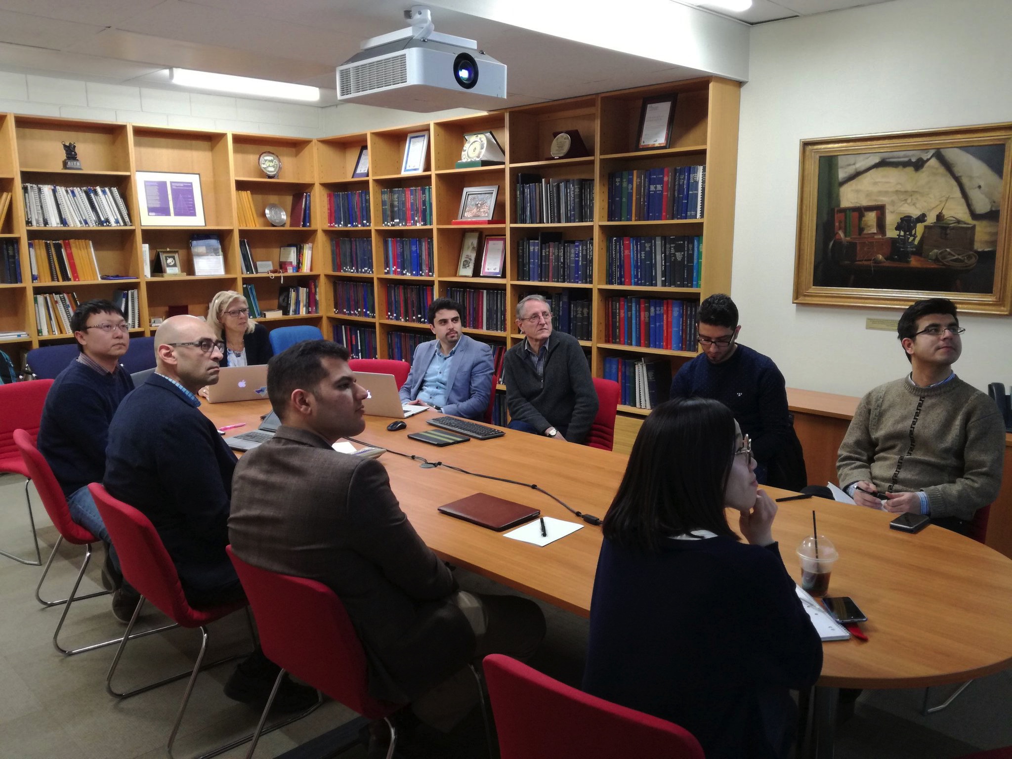
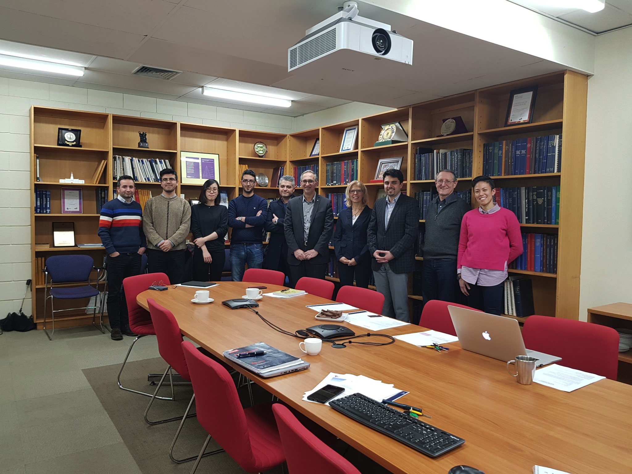
Last week, Jantien Stoter visited the Centre for Spatial Data Infrastructures and Land Administration, University of Melbourne (She was in Melbourne to give a keynote at GIScience 2018).
With them, she attended 3D knowledge exchange sessions at both Land Use Victoria and the City Of Melbourne. Jantien presented an overview of the research of our group in both events. City of Melbourne encounter similar challenges in realising their 3D ambitions as we are addressing in our research such as 3D reconstruction, 3D data standards, 3D urban applications and IFC/BIM. We are exploring opportunities to work more closely together. In the meeting with Land Use Victoria (LUV) the topic was the Victoria 3D Digital Cadastre Roadmap that they are currently writing in a collaboration with University of Melbourne. The 3D Ccdastre challenges ahead are similar as at the Dutch Kadaster is facing. We will therefore join our forces on the roadmap with attention for the overlap and differences in both our countries.