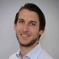
Welcome Tom!
May 23, 2016
 Tom Commandeur has recently started as a researcher in our research group. He will be mostly working on our software to construct 3D city models, and will improve it so that we can automatically use it to reconstruct the whole of the Netherlands in 3D.
We aim at having a full 3DBGT datasets in the coming months.
This will be done in collaboration with the Kadaster.
Tom finalised in the beginning of 2012 a Msc Geomatics at the TU Delft with a thesis on automated reconstruction of 3D city models. Since then he has worked as a Geo-Information specialist and software developer in a commercial company applying HydroInformatics in solutions for the Dutch waterboards.
Welcome Tom!