EUROSDR/ICA NMA-Generalisation workshop
Dec 9, 2015
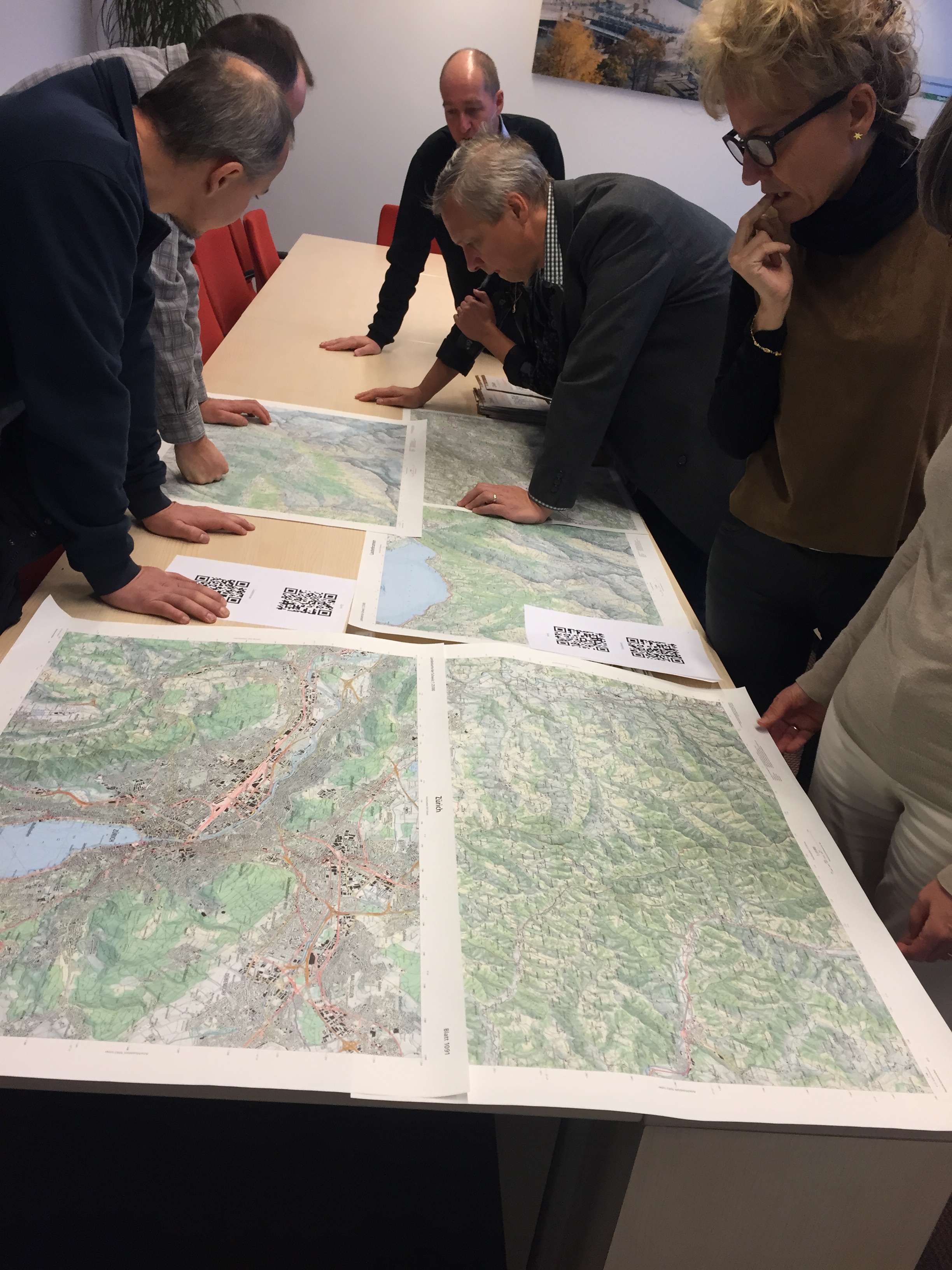
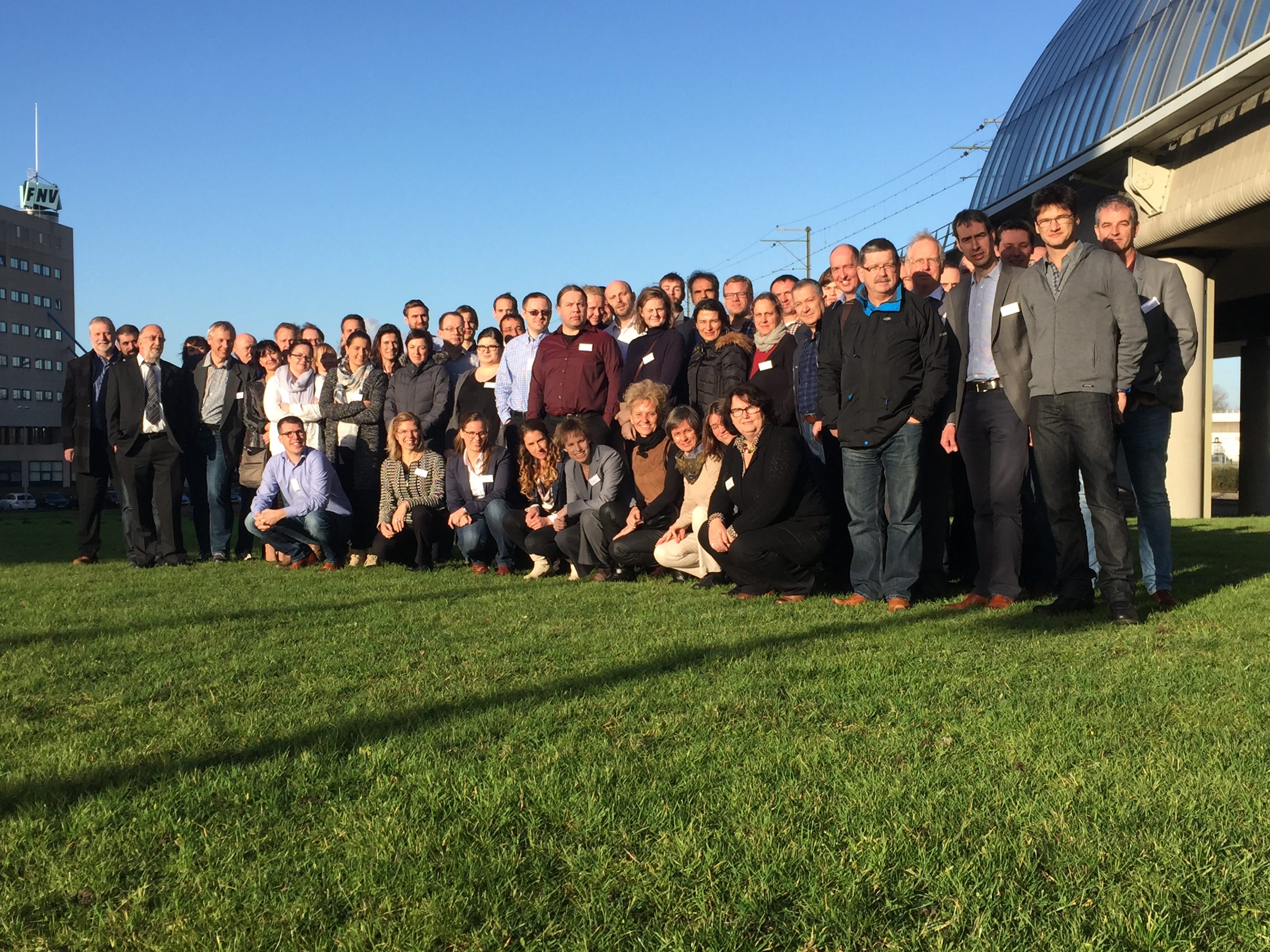
On December 3 and 4 more than 60 people from 18 National Mapping Agencies (NMAS) visited the Kadaster in Amsterdam to exchange experiences on automated generalisation in their production lines of multi-scale maps. The workshop was organised by EuroSDR (Jantien Stoter) and the commission on generalisation and multi-representation of the International Cartographic Association in collaboration with the Kadaster. In 2013 a workshop was already held on this subject. Compared to 2013 significant developments have been made. Automated generalisation is now implemented by most NMAs. And NMAs consider multi-scale information as a crucial part of the information society in which we live. Therefore up-to-date multi-scale information produced by NMAs should be easily available to everyone.
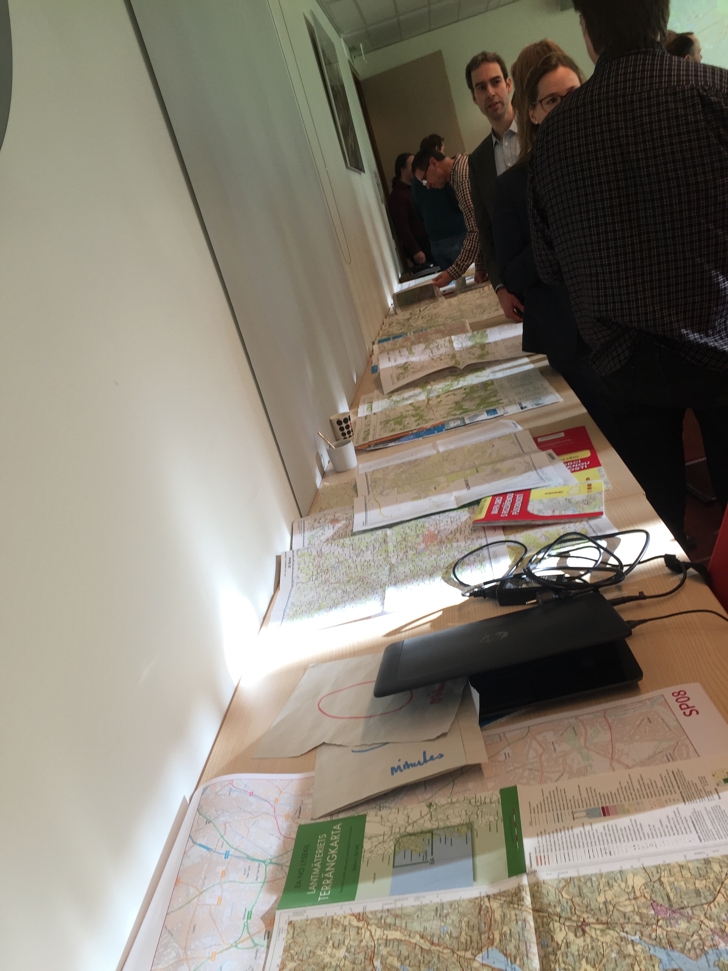
During the workshop, the participants also discussed the future development of multi-scale map products. Noteworthy were the conclusions that “object identifiers” for derived maps are not always necessary (instead complete maps are derived again when needed) and that pre-defined map scales are becoming less important as zoom in and out levels of digital visualisations are getting more important. Moreover, the criteria for “maps that are good enough” are no longer driven by cartography only. Instead up-to-dateness is an important criteria as well. This is made possible by automated generalised maps (which might not result in a perfect cartographic result). At the end of the workshop people could study in detail each others multi-scale maps. Presentations can be found here.


