PhD position vacancy

Generalisation of 3D city models
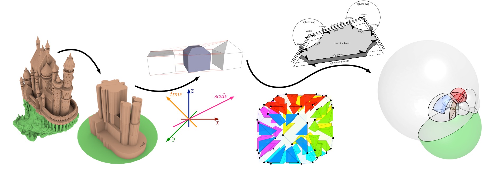
The PhD is part of a large project (entitled “Urban modelling in higher dimensions”) that will develop a fundamental solution for providing 3D data at application-specific Levels of Detail (LoDs). 3D city models are needed to monitor and predict processes in urban areas (noise, flooding, energy demand-supply). However, each application requires its own semantic and geometric LoD of the 3D data, and practitioners currently must spend enormous effort to collect and transform 3D datasets to make them suitable for a specific application. For example, noise models require block models, solar panel potential analyses require roof geometries and heat loss estimations require windows and doors. To enforce and ensure consistency across all dimensions, the project will develop a solution to model LoDs as an extra dimension to the 3D spatial dimensions in an integrated 3D+LoD (i.e. 4D) model. This approach models real-world entities as 4D objects that are stored in a 4D data structure.
The general project will develop:
- a generalisation method in 3D to derive different LoDs from the same 3D base data in order to serve different applications
- the 4D data structure to model semantic rich 3D+LoD GIS data in nD
- a method to “slice” the 4D model to obtain error-free 3D data at application-specific LoDs. These three parts are underpinned by use-case studies on urban applications that will define requirements and be used as tests.
The PhD candidate for part 1 (this position) will develop generalisation algorithms for 3D objects (buildings, bridges, etc). The LoDs to be generated (both in terms of semantics and geometry) are required to be in conformance with the 3D GIS standard CityGML. This standard supports both the concept of LoDs and the 3D data modelling for urban applications (noise, energy, etc).
The project will take place in the 3D geoinformation group under the supervision of Prof. Jantien Stoter and Dr Hugo Ledoux. The position is fully funded by the European Research Council (from a ERC starting grant). We expect the PhD student to collaborate with other researchers, e.g. the senior researchers in the project and two PhDs who will work on parts 2 and 3. In addition, the project is carried out within the context of the Amsterdam Institute of Advanced Metropolitan Solutions, and therefore the PhD is expected to work with researchers in AMS (including a geo-data scientist).
Research group
The 3D geoinformation research group, part of the Delft University of Technology, focuses on the technologies underpinning geographical information systems (GIS), and aims at designing, developing and implementing better systems to model 3D cities, buildings and landscapes. It is a multidisciplinary group of around 12 people, including computer scientists, geomatics engineers, and geographers. It has a history of successful collaborations with the industry and the government: its research has led to software, standards and patents for the management of 3D geographic information.
Doing a PhD at TU Delft
At the Delft University of Technology, a PhD student is a full-time employee of the university who gets paid a salary, no extra funding is necessary. The gross salary is €2,174 per month for the 1st year, going up to €2,779 during the 4th year. TU Delft also offers an attractive benefits package, including a flexible work week and the option of assembling a customised compensation and benefits package. An International Children’s Centre offers childcare and an international primary school. Dual Career Services offers support to accompanying partners. Salary and benefits are in accordance with the Collective Labour Agreement for Dutch Universities.
More information about doing a PhD at TU Delft and in the Netherlands can be found here and there.
Job requirements
Applicants should hold an MSc degree (or almost completed) in geoinformatics/geomatics, computer science, applied mathematics, or in a related discipline. They are expected to have good programming skills, a good command of English (oral and written) and strong interest in 3D modelling and/or computational geometry. Prior experience with GIS is highly desirable.
How to apply
To apply, please submit:
- a detailed CV and a letter of application,
- the name of two referees,
- copies of BSc/MSc diplomas and grades obtained,
- proof of English competencies (if applicable),
- MSc thesis or any publications you have authored (a URL to a PDF is fine).
Please email your application material to Caro Coemans (hr-bk@tudelft.nl) and refer to vacancy number BK2016-08.
For more information about this position, please contact directly Prof. Dr Jantien Stoter (j.e.stoter@tudelft.nl).
Sources of figures: Medieval castle by boldmachines. Structure of Nef polyhedra in CGAL.