Diagram
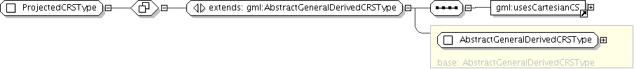
| Super-types: | gml:AbstractReferenceSystemType < AbstractGeneralDerivedCRSType (by extension) < ProjectedCRSType (by extension) |
|---|---|
| Sub-types: | None |
| Name | ProjectedCRSType |
|---|---|
| Abstract | no |
| Documentation | A 2D coordinate reference system used to approximate the shape of the earth on a planar surface, but in such a way that the distortion that is inherent to the approximation is carefully controlled and known. Distortion correction is commonly applied to calculated bearings and distances to produce values that are a close match to actual field values. |
'Set of alterative identifications of this reference system. The first srsID, if any, is normally the primary identification code, and any others are aliases.'