Diagram
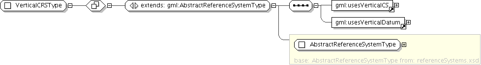
| Super-types: | gml:AbstractReferenceSystemType < VerticalCRSType (by extension) |
|---|---|
| Sub-types: | None |
| Name | VerticalCRSType |
|---|---|
| Abstract | no |
| Documentation | A 1D coordinate reference system used for recording heights or depths. Vertical CRSs make use of the direction of gravity to define the concept of height or depth, but the relationship with gravity may not be straightforward. By implication, ellipsoidal heights (h) cannot be captured in a vertical coordinate reference system. Ellipsoidal heights cannot exist independently, but only as an inseparable part of a 3D coordinate tuple defined in a geographic 3D coordinate reference system. |
'Set of alterative identifications of this reference system. The first srsID, if any, is normally the primary identification code, and any others are aliases.'