About
- Responsible staff
- Questions related to the content of the course?
- Contact hours
- Education methods
- Material used
- Marking
- Exams
- Expected prior knowledge
- Course Content
- Study Goals
Responsible staff

Questions related to the content of the course?
Please do not email me for questions, I want everyone to benefit from the answers provided, and I encourage students to also answer questions.
For all questions related to the content, please use discord (geomatics server, #geo1015-2023).
Only use email for personal issues.
Contact hours
During the Q2:
- Mondays 15:45–17:30 (help with coding/assignments, with student assistant Dimitris Mantas)
- Wednesdays 8:45–10:30 (contact hours, demo, questions, discussions)
- Fridays 8:45–10:30 (contact hours, demo, questions, discussions)
Education methods
This is a blended-learning course. The contact hours are there to answer questions, to help with the assignments, give feedback on the assignments, and we will sometimes explain topics that are less understood. We will also have one guest lecture from a practitioner.
The contact hours are not mandatory (except on 2023-12-13@08:45-09:30 when there is a quiz (10% of final mark)) but they certainly will help in understanding the concepts.
The “typical” lectures are replaced by videos and reading that you need to do individually at home before the contact hours.
Material used
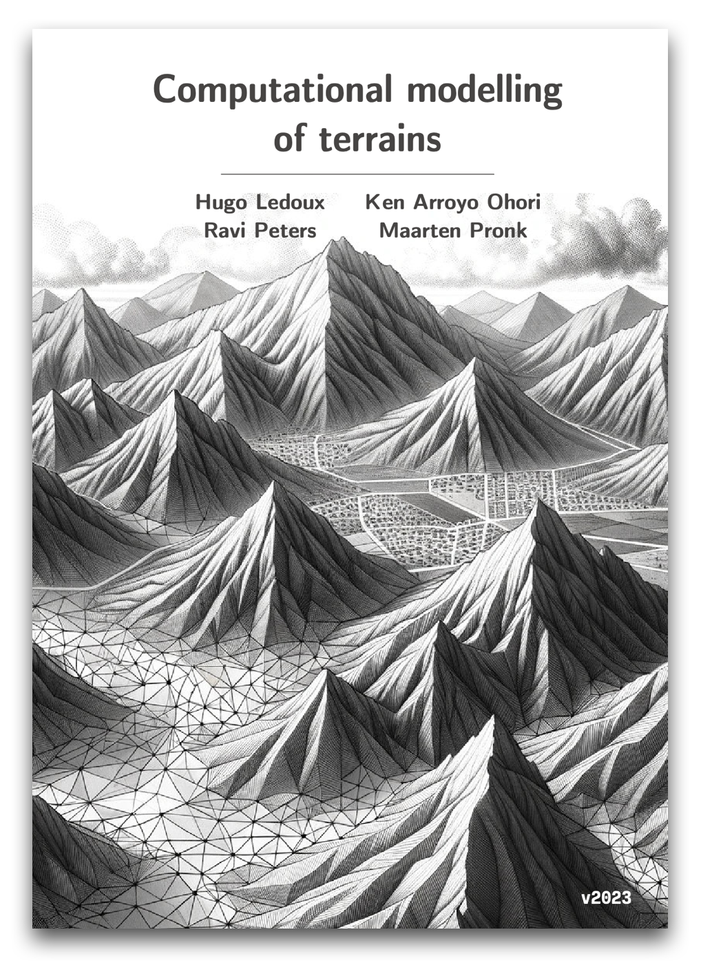
You do not need to buy anything, all the material is freely available. We use the book Computational modelling of terrains(watch out, you need v2023.0!), you should download its PDF and print it (since you can bring it to both exams).
Marking
| type | weight |
|---|---|
| final exam | 50% |
| mid-term quiz | 10% |
| 3 individual assignments | 21% |
| 1 group assignment | 19% |
- a total of 57.5% or above is necessary to successfully pass the course
- there are 2 exams: one mid-term quiz and one final exam
- a minimum of 50% for the combined exams (quiz + final) is necessary
- there is one resit for the combined exams (thus one exam worth 60% during the resit period (Q3))
- there is one “resit” for all the four assignments together (during Q3), doing the resit for the assignments means you do them all. The resits are different from the original ones!
- you can choose which of the 2 resits you want to do: (option 1) only the resit exam (60% of final mark); (option 2) only the resit for the 4 assignments (40% of final marks, individual task); (option 3) both option 1 and option 2.
- if you still fail after the resits (<57.5% or <50% for exam part), then you have to redo the whole course the following year.
Exams
- quiz (10%) on 2023-12-13@8:45–9:30
- final exam (50%) on 2024-01-26@9:00–11:30
Both are open-book: you can bring any (paper) books and/or paper notes you want, but electronic devices are not allowed (except a simple calculator).
All exams from previous years are available for download.
Expected prior knowledge
The course is designed for students from the MSc Geomatics, and the following courses are required prerequisites:
Course Content
Digital terrain models (terrains) are computer representations of the elevation of a given area, and they play an important role in understanding and analysing our built environment. They are the necessary input for several applications (eg flood modelling, visibility, effects of climate change on the north poles, etc.), and they are also relevant for studying for seabed and other planets.
The course provides an overview of the fundamentals of digital terrain modelling (DTM):
- different representations of terrains: TINs, rasters, point clouds, contour lines
- reconstruction of terrains from different sources (LiDAR, photogrammetry, InSAR)
- spatial interpolation methods
- conversion between different DTM representations
- processing of DTM: outlier detection, filtering, segmentation, and identification and classification of objects
- applications, eg runoff modelling, watersheds computations, visibility
- techniques to handle and process massive datasets
The course has both a theoretical part and a practical part where students reconstruct, manipulate, process, and extract information from terrains.
All the labs are programming tasks (to be done with the Python or C++ programming languages), and other open-source libraries and software are used.
Study Goals
At the end of the course, students will be able to:
- describe the characteristics of elevations datasets from different sources (LiDAR, photogrammetry, InSAR)
- describe the pros and cons of different representations of terrains, and compare them for different applications
- explain how elevation datasets can be automatically converted to terrains
- reconstruct and manipulate terrains using with open-source libraries
- explain, analyse, and discuss how terrains can be useful in different applications related to built environment
- given a specific problem where elevation plays a role (eg visibility or flood modelling), analyse and identify which data and algorithms are needed to solve the problem, and assess the consequences of these choices;