🌟 Teaser alert: ifcgref is coming 🔜
Dec 20, 2023
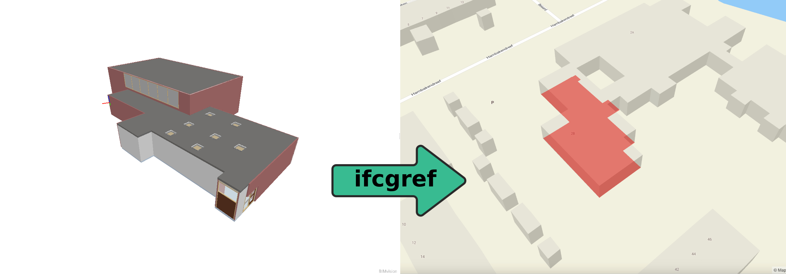
Within the framework of geobim solutions for the CHEK project, it is essential to furnish and analyze Building Information Modeling (BIM) entities to establish a connection between the BIM model and the geographical world.
The ifcgref tool is going to serve as an online resource, aiding developers, engineers, and architects in transitioning from the local coordinate reference system (CRS) of the BIM model to the projected CRS of city model. Utilizing geo-information available in the BIM model and user input, this tool computes attributes for georeferencing, updates the IFC model and presents the outcomes visually on city map. The visualization component leverages support from another project managed by 3dgeoinfo, known as IfcEnvelopeExtractor, which can generate the roof-print of a the 3D BIM model in the process of extracting its outer shell.